
From town
Hiking trails near Payson, Arizona
Some of the best walks start before you leave town.
Ten of them are here, from an easy lake loop to steep routes on the Rim, each with the drive from Main Street. Pick the one that fits today. Cell service drops on the forest roads, so open the map before you leave town.
 Monster watchHe has no interest in your picnic unless you leave it. Keep the lid on.The Monster
Payson Area Trails System
The trail map.
The town map of the Payson Area Trails System. Hover to look closer. Open it to fill the screen. Save it before you leave cell service. Confirm status with the Payson Ranger District, (928) 474-7900.
11 trails match
Shoofly Village
Easy
Houston Mesa
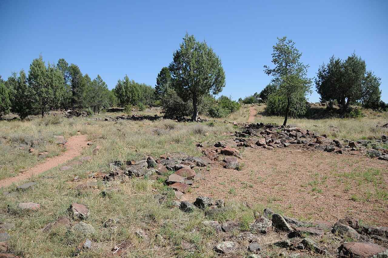
A short interpretive loop through a prehistoric village site north of town.
- Round trip
- 0.5 mi
- Climb
- 30 ft
- Character
- Family · Views
The loop is paved and easy to follow. It pairs well with a drive up Houston Mesa Road.
From town. From the Highway 87 and 260 junction, go north on 87 about a mile, then right on Houston Mesa Road. Shoofly is signed, a few miles up, on the left. About 15 minutes.
Driving directions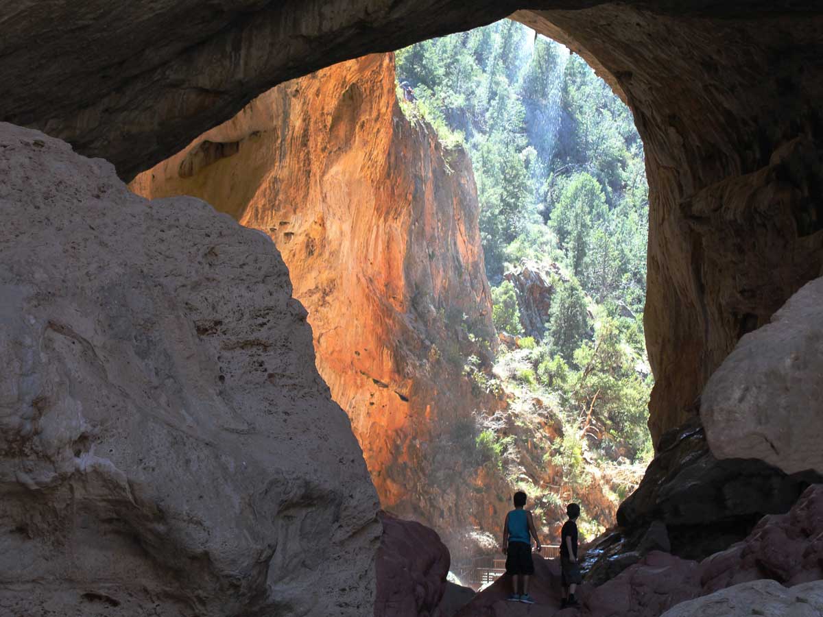
Pine Creek Trail
Moderate
Tonto Natural Bridge
A short walk under Tonto Natural Bridge. The park page has the fee, the hours, and the other trails.
- Round trip
- 0.5 mi
- Climb
- 200 ft
- Character
- Creek · Family · Shaded
A state park fee applies. The rock is slippery. This trail closes after high water. Check the park before you go.
From town. North on Highway 87 about 12 miles to Pine, then follow the signs to Tonto Natural Bridge State Park. About 20 minutes. The park road drops to the trail.
Driving directions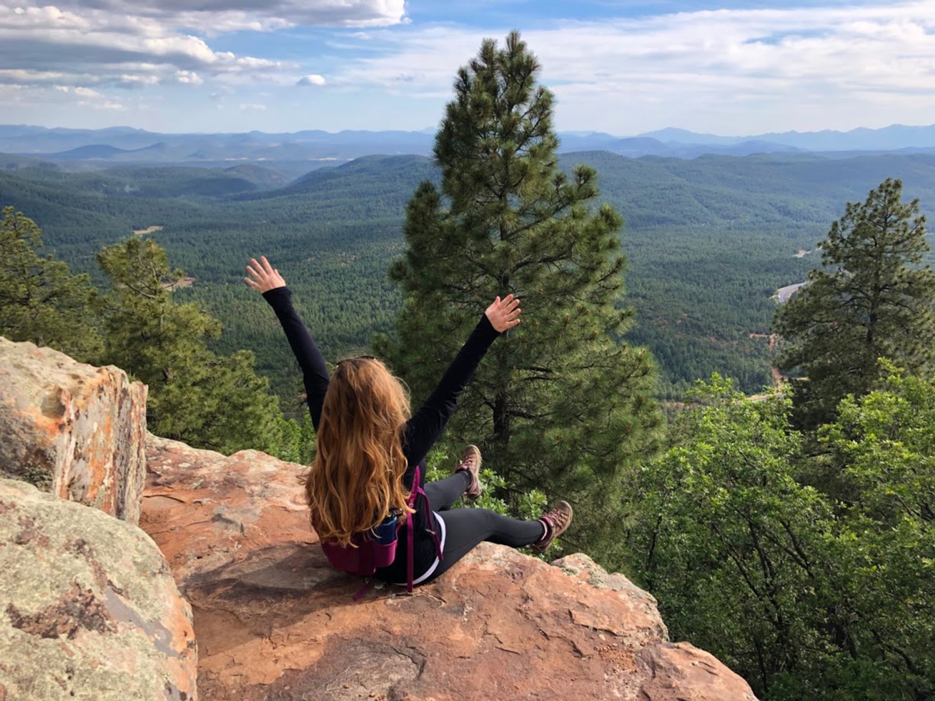
Rim Lakes Vista
Easy
Forest Road 300
Short overlook walks on top of the Mogollon Rim, when Forest Road 300 is open.
- Round trip
- 0.5 mi
- Climb
- 20 ft
- Character
- Views · Family
The Rim Road is seasonal and may be rough or closed. Confirm access with the forest or the Visitor Center.
From town. East on Highway 260 to the top of the Rim, then Forest Road 300. Allow 45 minutes to an hour. The road is seasonal. Do not start if you have not confirmed it is open.
Driving directions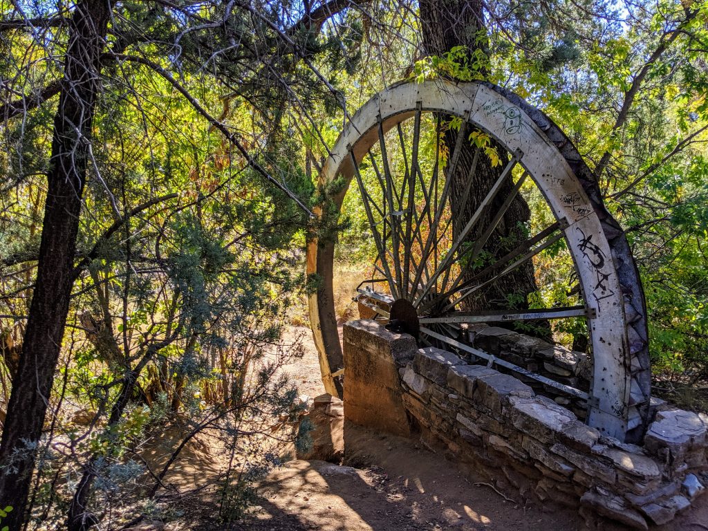
Water Wheel
Easy
East Verde
A short walk to the East Verde and the historic water wheel site.
- Round trip
- 1 mi
- Climb
- 80 ft
- Character
- Creek · Family
The parking area fills on summer weekends. Water level determines whether swimming is possible. The day-use site has been closed for flood damage. Confirm it is open before you go.
From town. From the Highway 87 and 260 junction, north on 87, then right on Houston Mesa Road (Forest Road 199). The site is about 7.5 miles up that road. About 20 minutes. A day-use fee applies when it is open. Cell service drops.
Driving directions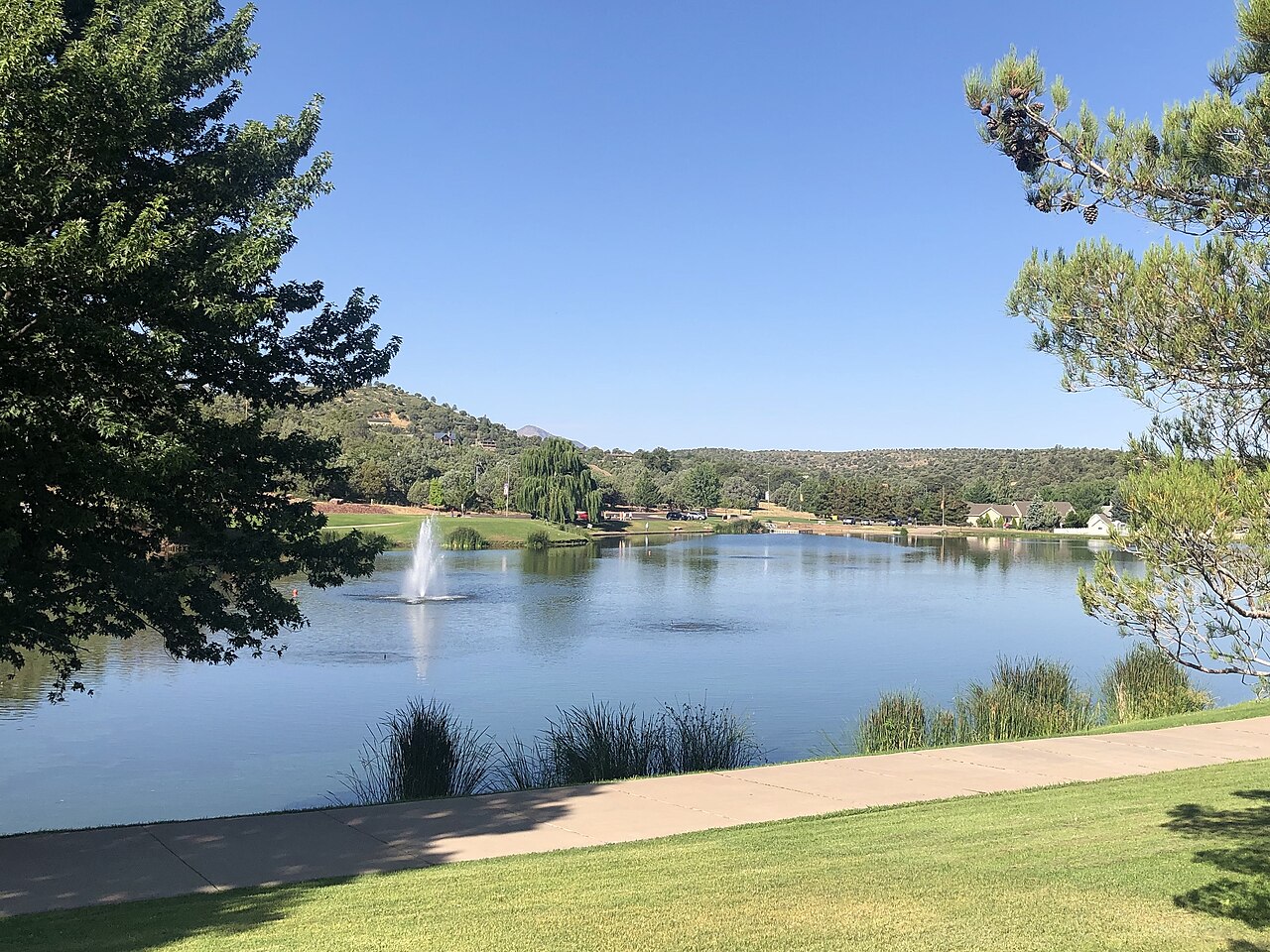
Green Valley Lake Loop
Easy
In town
A flat path around the three town lakes at the end of Main Street.
- Round trip
- 1.5 mi
- Climb
- 40 ft
- Character
- Family · Views
No swimming or wading. Fishing is allowed with an Arizona license. The path is suitable for strollers.
From town. In town. From Highway 87, go west on Main Street to the end. The lakes and the path are at Green Valley Park. About 5 minutes from the highway.
Driving directions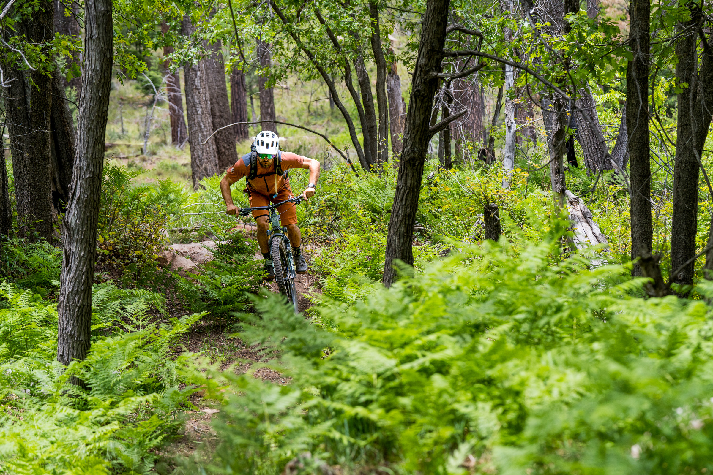
Houston Mesa trails
Moderate
North of town
Rolling pine trails and ranch roads just north of town. Turn around whenever you like.
- Round trip
- 4 mi
- Climb
- 350 ft
- Character
- Shaded · Family
Shared with horses. A good half-day without a long drive to the trailhead.
From town. From the Highway 87 and 260 junction, north on 87, then right on Houston Mesa Road. Trailheads and Houston Mesa Campground are a few miles up the road. About 15 minutes.
Driving directions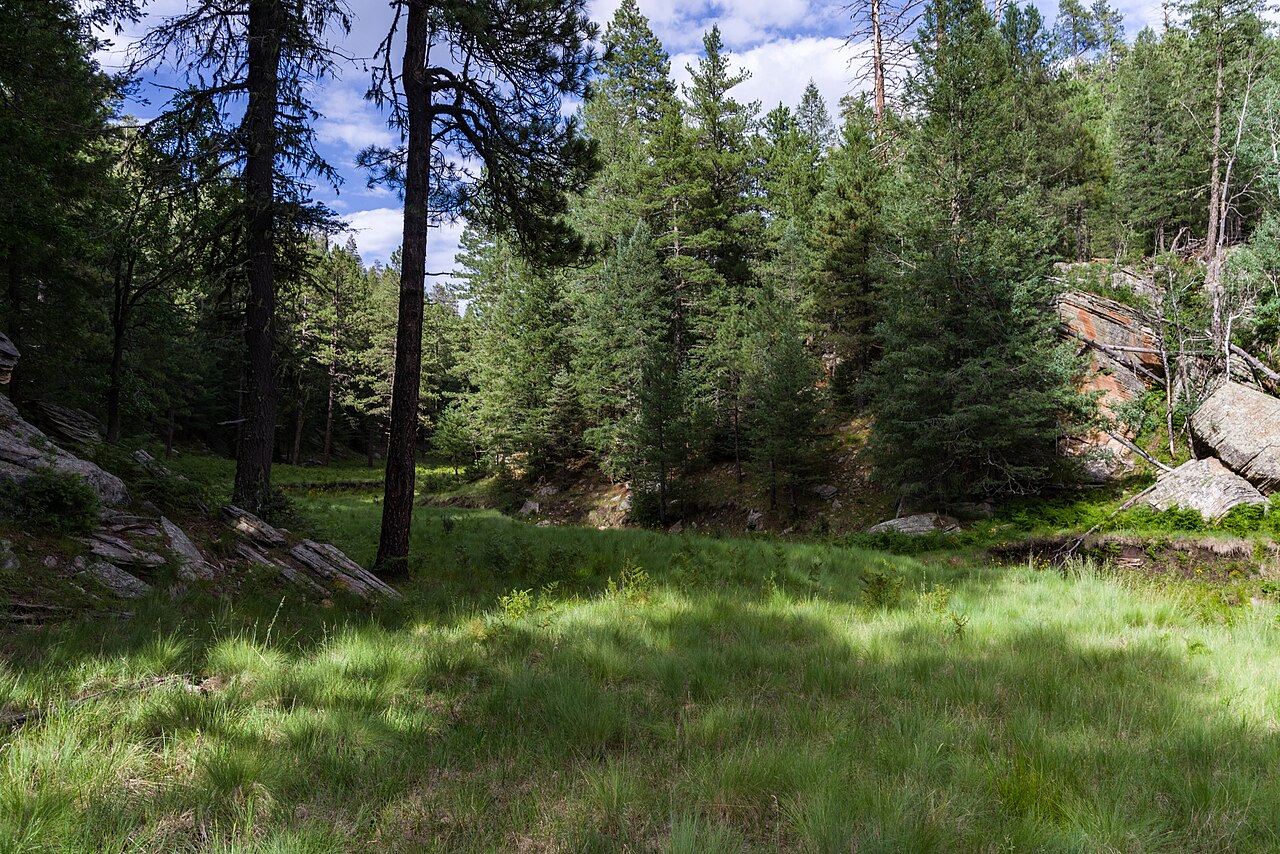
Highline segment
Moderate
Below the Rim
A day-length section of the Highline Trail, which runs for miles beneath the Rim.
- Round trip
- 6 mi
- Climb
- 900 ft
- Character
- Views · Shaded · Rocky
The full Highline is a multi-day route. Choose an out-and-back that matches your group.
From town. East on Highway 260 about 25 miles to the 260 Trailhead. For the Christopher Creek end, stay on 260 about 20 miles, left on Christopher Creek Loop, then left on Forest Road 284 to the See Canyon trailhead. About 30 to 40 minutes. Plan a shuttle or an out-and-back before you start.
Driving directions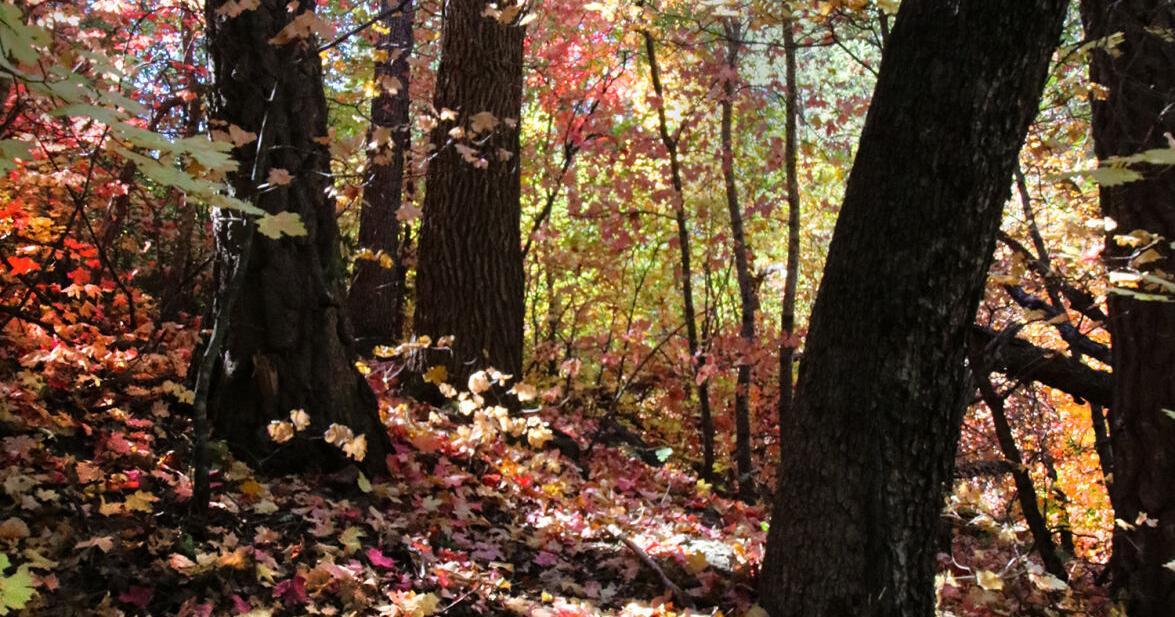
See Canyon
Hard
Mogollon Rim
A steep trail between the pines on the Rim and the canyon below.
- Round trip
- 6 mi
- Climb
- 1,800 ft
- Character
- Creek · Rocky · Views
Best for experienced hikers. Trekking poles are useful on the descent and the climb out.
From town. East on Highway 260 about 20 miles. Left onto Christopher Creek Loop for about a mile, then left on Forest Road 284, across from the store. About 1.5 to 2 miles of good dirt to the trailhead. About 35 minutes. Passenger cars are usually fine when the road is dry.
Driving directions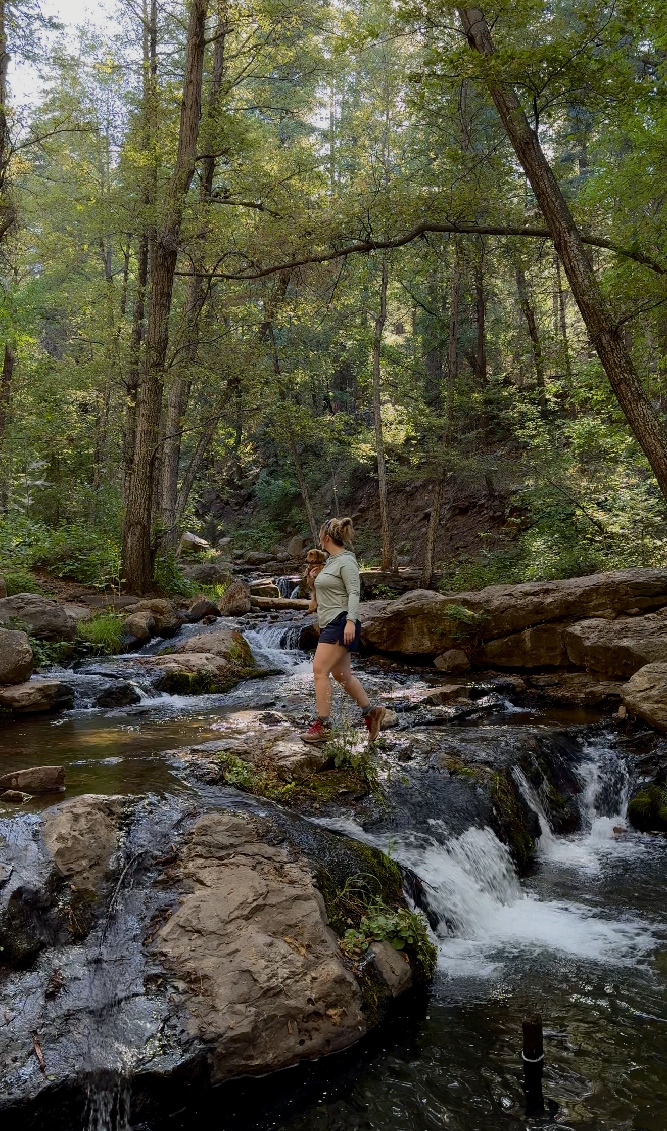
Horton Creek
Moderate
Tonto National Forest
Payson’s classic hike: a shaded climb along the creek to Horton Spring.
- Round trip
- 8 mi
- Climb
- 1,100 ft
- Character
- Creek · Shaded
Round trip. The return is the harder part of the day. Carry water. Through the end of 2026 the usual trailhead parking is closed for bridge work on Forest Road 289. The road stays open, with possible delays. Use the Derrick Trailhead as the alternate, and confirm before you leave town.
From town. East on Highway 260 about 16 miles, just east of mile marker 268 at Kohl’s Ranch. Left on Forest Road 289 (Tonto Creek Road). About 25 minutes on pavement. Download the map in town. Cell service is poor at the creek.
Driving directions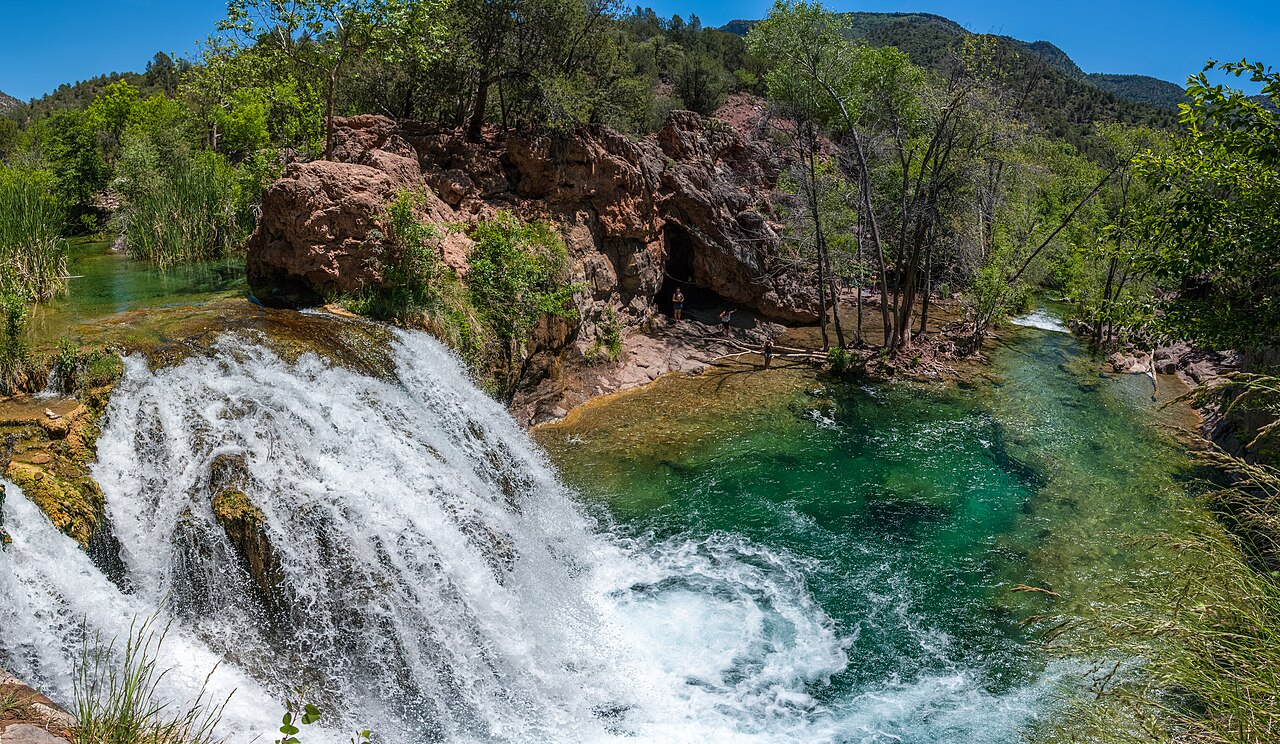
Fossil Springs
Hard
Day trip west
A well-known travertine creek west of town. The trail drops to the water, then climbs back out.
- Round trip
- 8 mi
- Climb
- 1,500 ft
- Character
- Creek · Rocky
The climb comes at the end of the day. Start early. From April 1 through October 1 you need a parking permit for the Bob Bear trailhead, and Forest Road 708 has seasonal closures. Confirm the permit and the road before you go.
From town. North on Highway 87 through Pine to Strawberry, about 25 minutes. West on Fossil Creek Road, Forest Road 708. Paved for about 2.5 miles, then dirt. The signed Bob Bear parking is on the right. Cell service drops on the dirt road.
Driving directions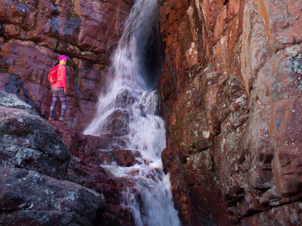
Barnhardt Trail
Hard
Mazatzal Wilderness
Trail 43, into Barnhardt Canyon. About 6 miles one way to the divide, and a full day if you go out and back.
- Round trip
- 12 mi
- Climb
- 1,900 ft
- Character
- Rocky · Views
Wilderness rules. No bikes and no motors. Water is not reliable, so carry what you need. The canyon gets hot. Start early and tell someone when you expect to be out. Cell service drops on the forest road.
From town. South on Highway 87 toward Rye, then west on Forest Road 419 to the Barnhardt Trailhead. About 11 miles from town, and about 25 minutes. The last stretch is dirt. A passenger car is usually fine when the road is dry.
Driving directions