Skip to content
The Mogollon Rim above the pines

Within 45 miles

Payson, AZ area guide

Trails, lakes, and forest roads

You are already driving through it. These are the reasons to exit. Each one is inside about 45 miles of the stoplights. Pick a starting point. The drive, the cautions, and who to call are in the section.

Payson Area Trails System

The trail map.

The town map of the Payson Area Trails System. Hover to look closer. Open it to fill the screen. Save it before you leave cell service. Confirm status with the Payson Ranger District, (928) 474-7900.

Save the PDF
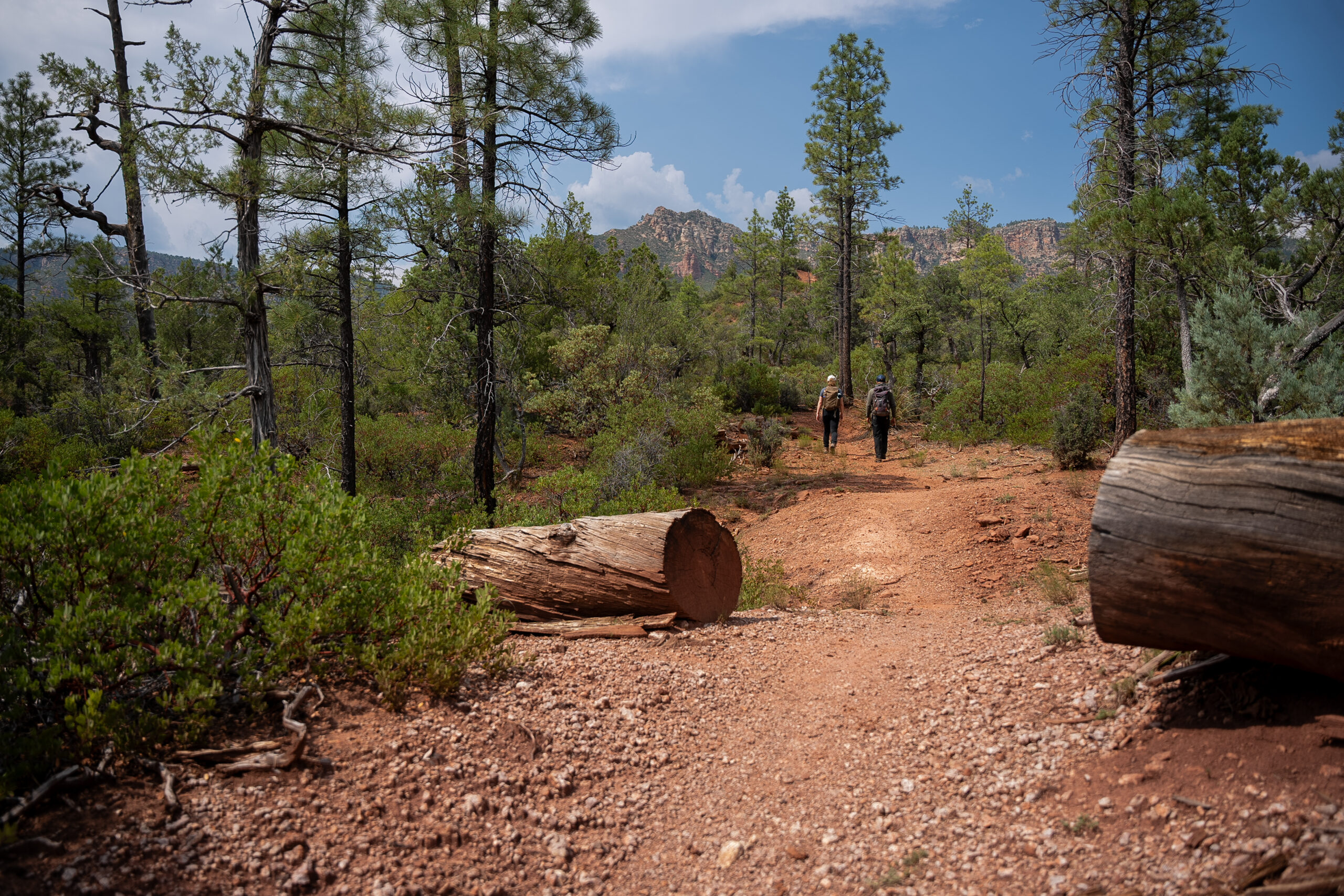
Hikers on the Highline Trail under the pines

01 · On foot

Trails through the pines

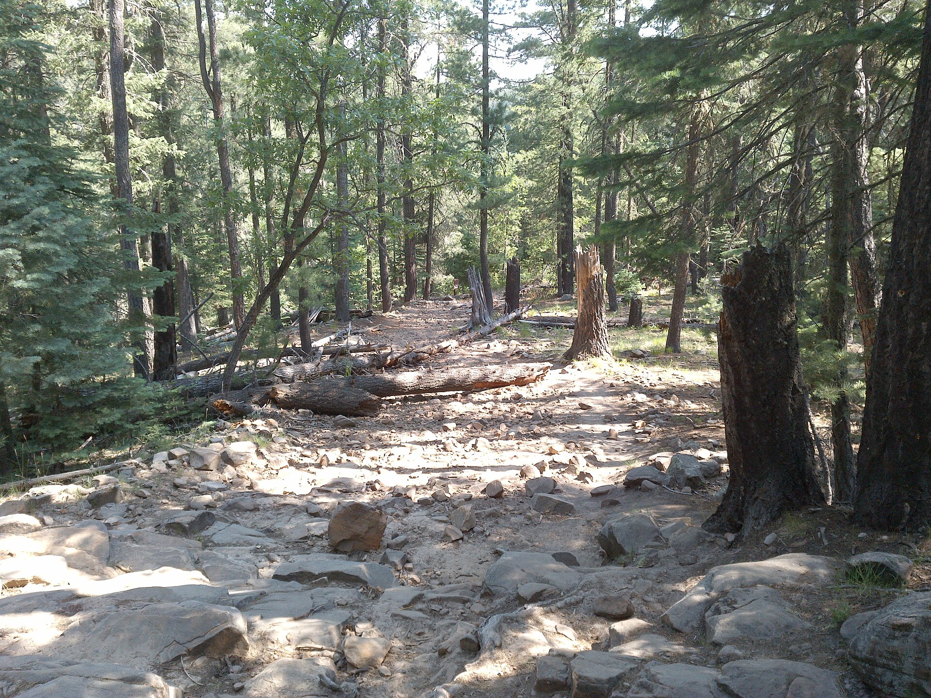
Payson sits at the edge of the largest continuous stand of ponderosa pine in North America. Trails begin at the edge of town or a short drive away. Walk the lakes at Green Valley Park in the afternoon. Climb Horton Creek toward the spring. The Rim is close enough that a morning start still gets you back in town for dinner.

Use the trail finder to match distance, climb, and what you want along the way: a creek, shade, a family walk, or a long view.

  • Horton Creek
  • Highline segments
  • Shoofly Village loop
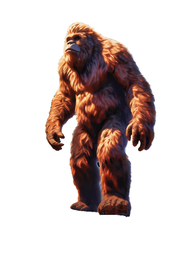
Mogollon Monster™Monster watchHe has no interest in your picnic unless you leave it. Keep the lid on.The Monster
Find a trail
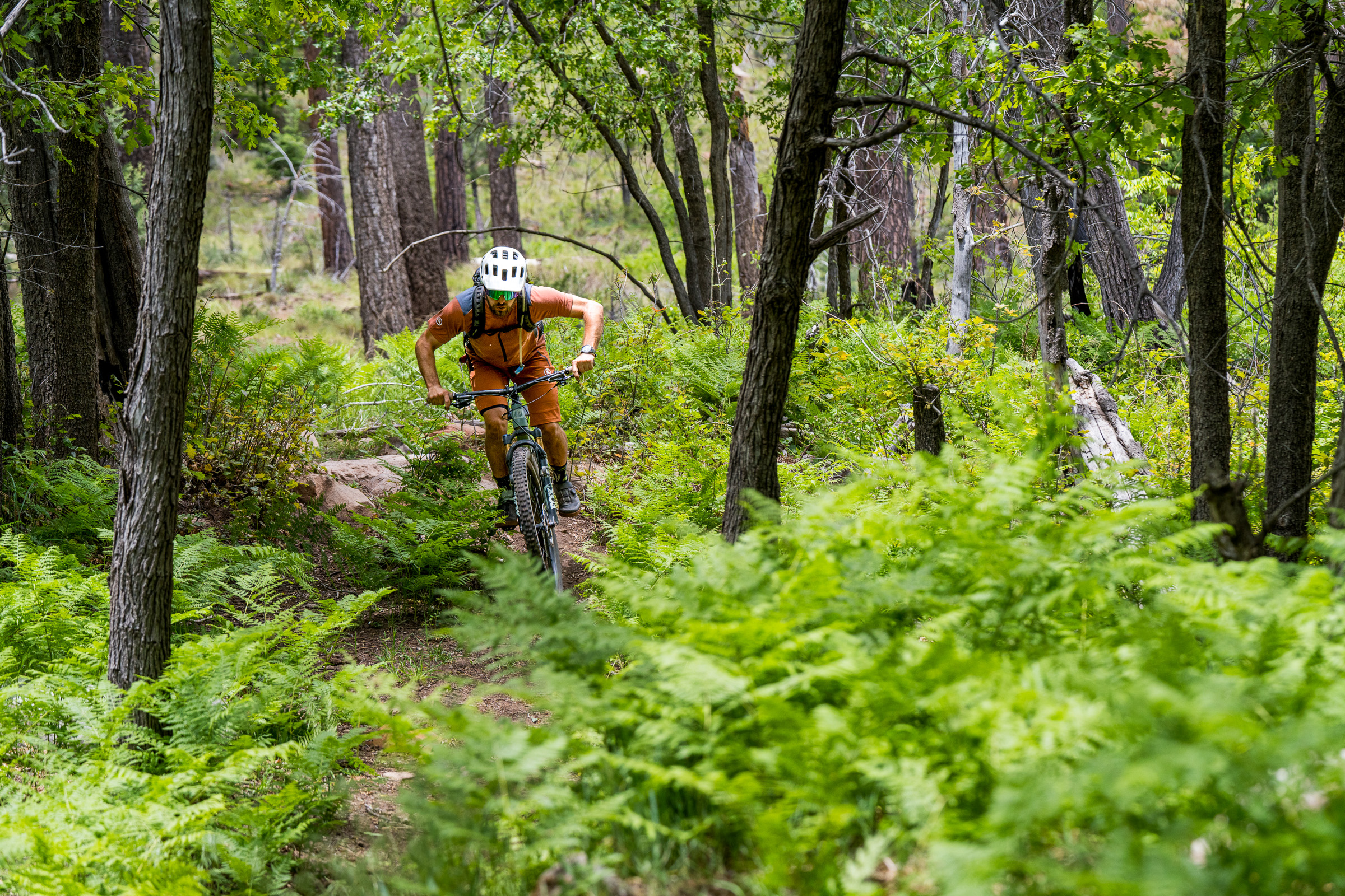
A rider on the Houston Mesa trail through ferns and pines

02 · Mountain biking

A new mountain biking mecca.

Singletrack starts inside town, in air that is always 15 to 20 degrees cooler than the desert highway you just left. Ubuntu, Houston Mesa, and the granite on the east side are rides you can finish and still be back for dinner.

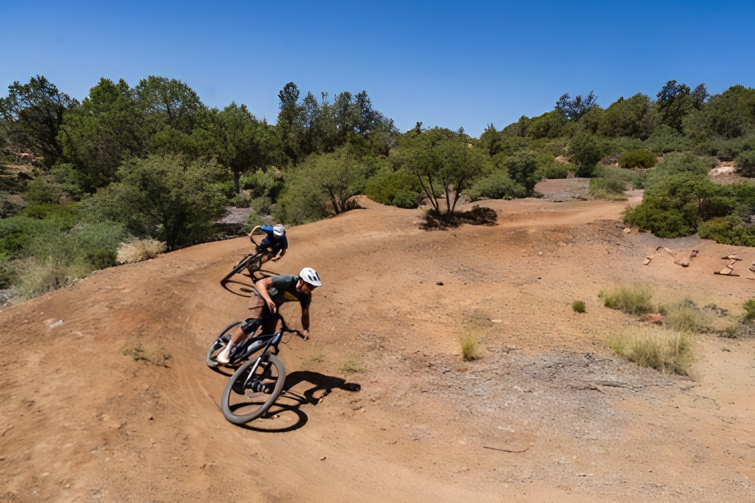
Longhorn Bike Park, at Rim Country Middle School on West Wade Lane and South Meadow Street, is a skills park of about 2,500 feet with a jump track. It is open to the public during non-school hours, from 8am to dusk. About 15 miles north, the Pine–Strawberry loop is a 21-mile intermediate ride. The rebuilt Highline, under the Rim, is rideable in sections. More trail has been proposed at Granite Dells, Houston Mesa, and between Pine and Payson. Those miles are planned, not open. Horton Creek is a hike, not a bike ride.

  • Payson Area Trails System
  • Longhorn Bike Park
  • Shared with hikers
Mogollon Monster™Monster watchHe likes dusk on the Rim. So do the elk. Only one of them is supposed to be there.The Monster
  • Two riders on a berm on the Ubuntu trail off McLane Road

    Ubuntu

    Intermediate · 2.7 miles

    A directional singletrack off McLane Road, with flowy sections, rock gardens, and tight trail. Jumps, drops, and rock gardens have ride-arounds.

    Park in front of the gate off McLane and do not block it. Ride the posted direction. Do not turn left onto the trail at the start. Season is February through November.

    From town. South of the highway, on McLane Road. Park in front of the gate and leave it clear.

    Driving directions
  • A mountain bike on the Houston Loop trail north of Payson

    Houston Loop

    Easy · 3.6 mile loop

    A pine loop north of town, reached from the Houston Mesa Trailhead.

    Houston Trail is about 4.2 miles from Horse Camp to the loop. Horse Camp parking is for campers.

    From town. Houston Mesa Road, north of the Highway 87 and 260 junction. Use the trailhead, not the Horse Camp lot.

    Driving directions
  • American Gulch

    Moderate to more difficult

    Two short sections in town: about 0.6 miles from the Graff trailhead, and about 1 mile on the south end.

    North access is the west end of Graff Road. South access is north of Doll Baby Ranch Road, west of the sewer plant.

  • Monument Peak

    Granite Dells

    A wider loop on the east side of town, with views of the peak through the boulders.

    Shared with hikers, and motorized use is possible. The Cypress trails are in the same area.

  • Longhorn Bike Park

    Skills park · 8am to dusk

    About 2,500 feet of course and a jump track at Rim Country Middle School, West Wade Lane and South Meadow Street.

    Open to the public during non-school hours only.

    From town. In town, at Rim Country Middle School. West Wade Lane and South Meadow Street.

    Driving directions
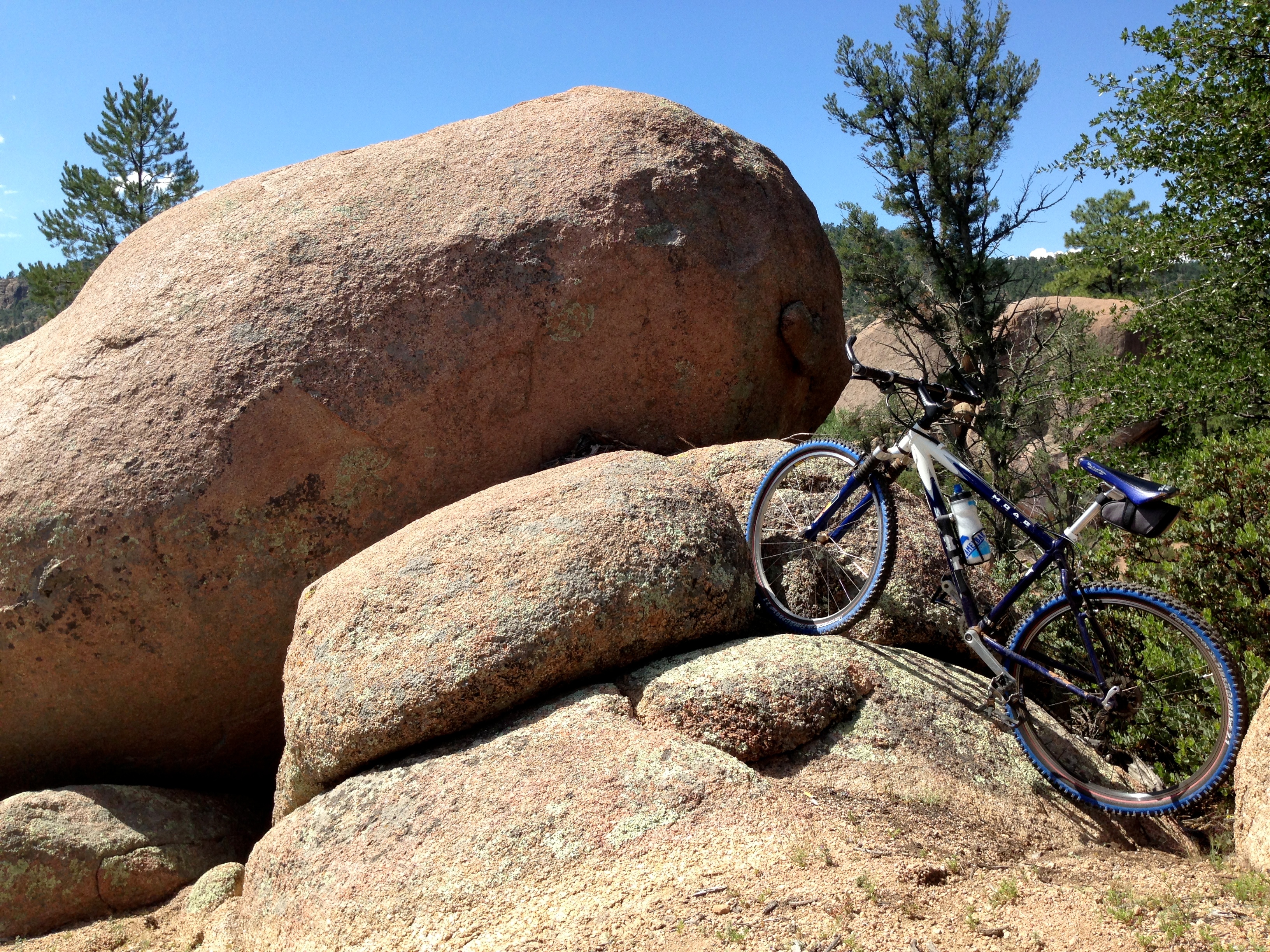
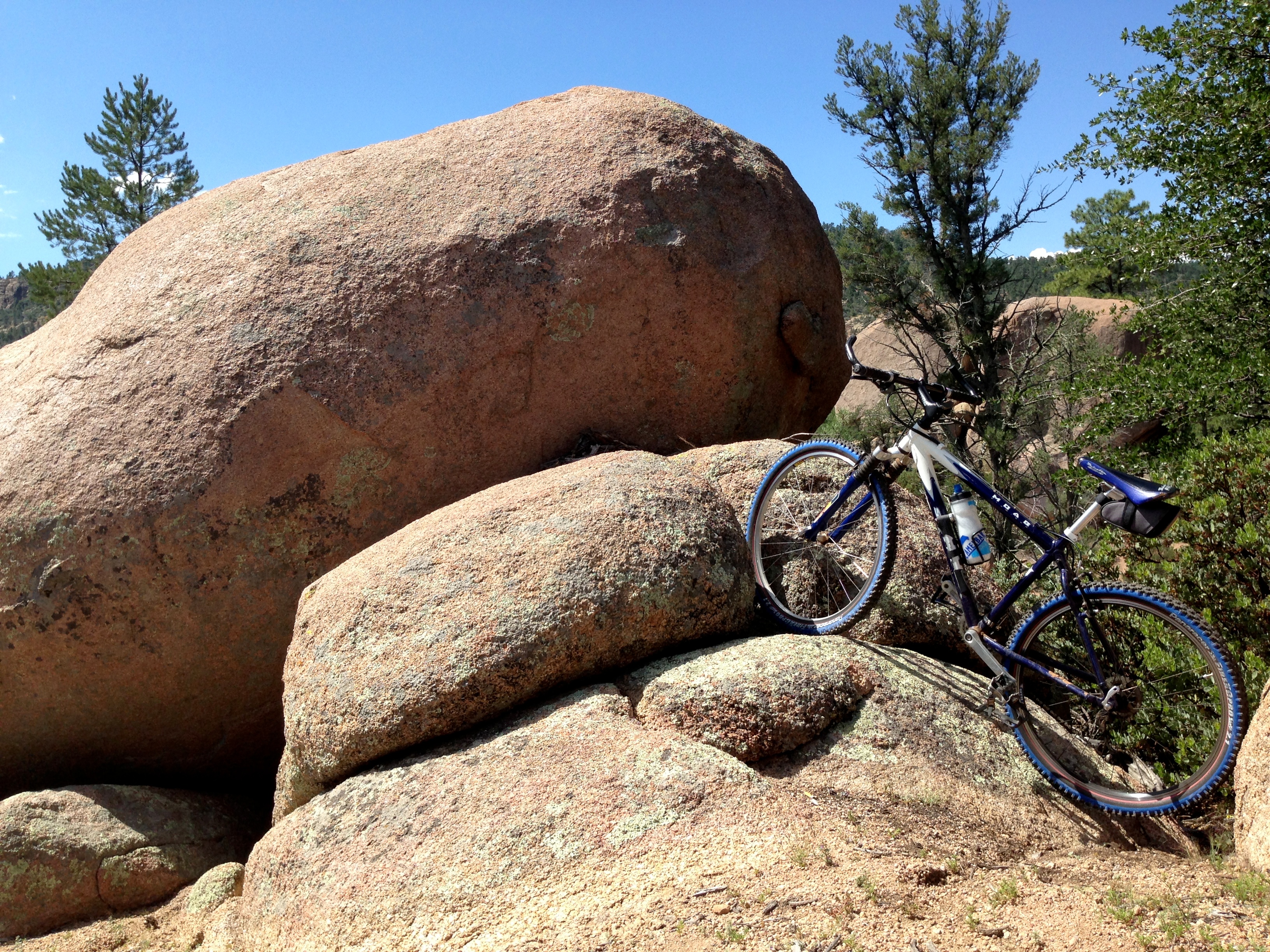
  • A mountain bike leaning against the granite boulders on Boulders Loop in the Granite Dells, Payson

    Boulders Loop

    Moderate · 3 miles

    A Granite Dells loop through the boulders on the east side of town.

    The trailhead is at the end of Granite Dells Road, about a quarter-mile walk from the parking. Shared with hikers.

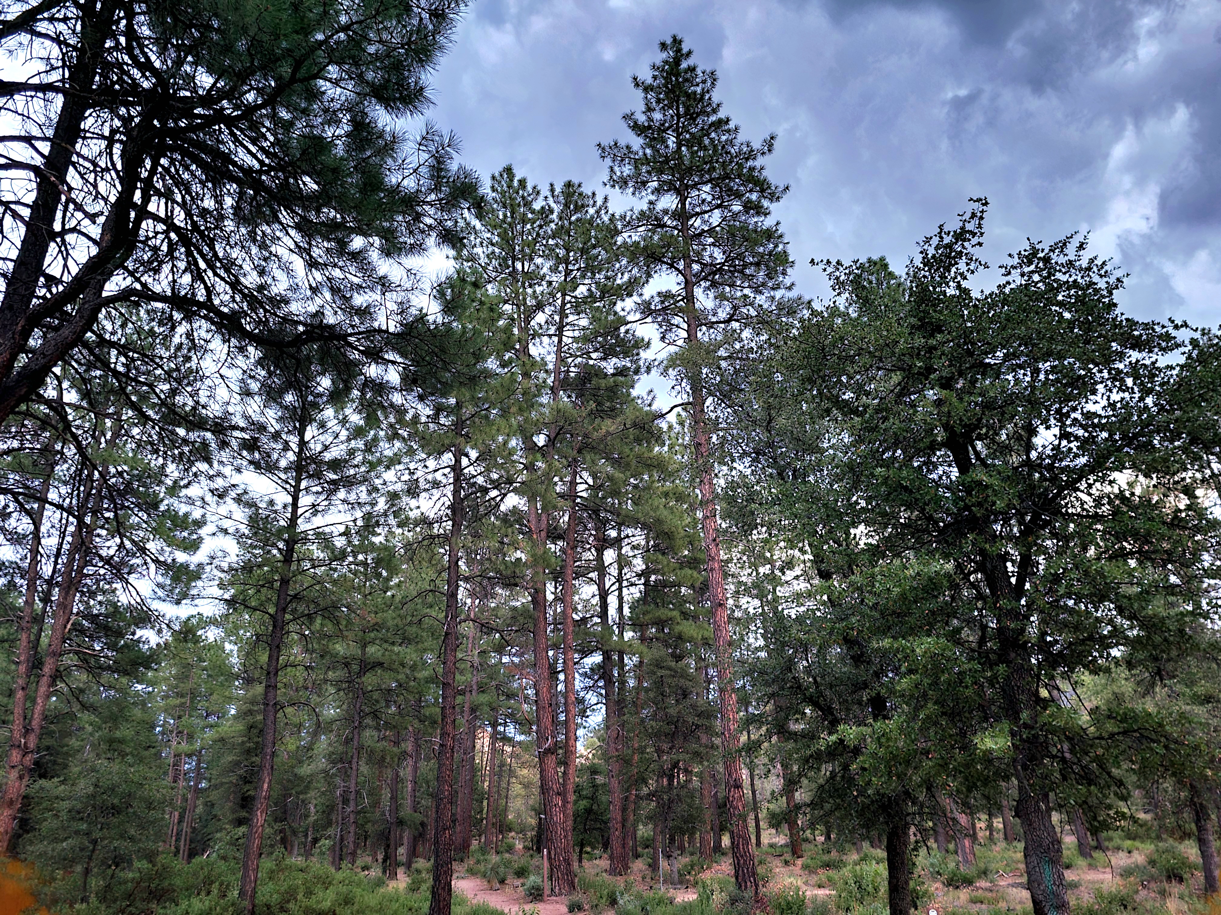
  • Pines and trail on the Cypress Trail in Payson, part of the Cypress–Stewart Ridge loop

    Cypress–Stewart Ridge

    Moderate · about 4.5 miles

    A rolling east-side loop that links the Cypress trails with Stewart Ridge.

    Parking is limited. Some sections are lightly marked, so carry a map.

  • Granite boulders and pines in the Granite Dells area (same country as the 200 Trail)

    200 Trail

    More difficult · about 2.8 miles

    A lollipop of technical rock, steep climbs, and a tight downhill.

    Confirm the trailhead on a current map before you go.

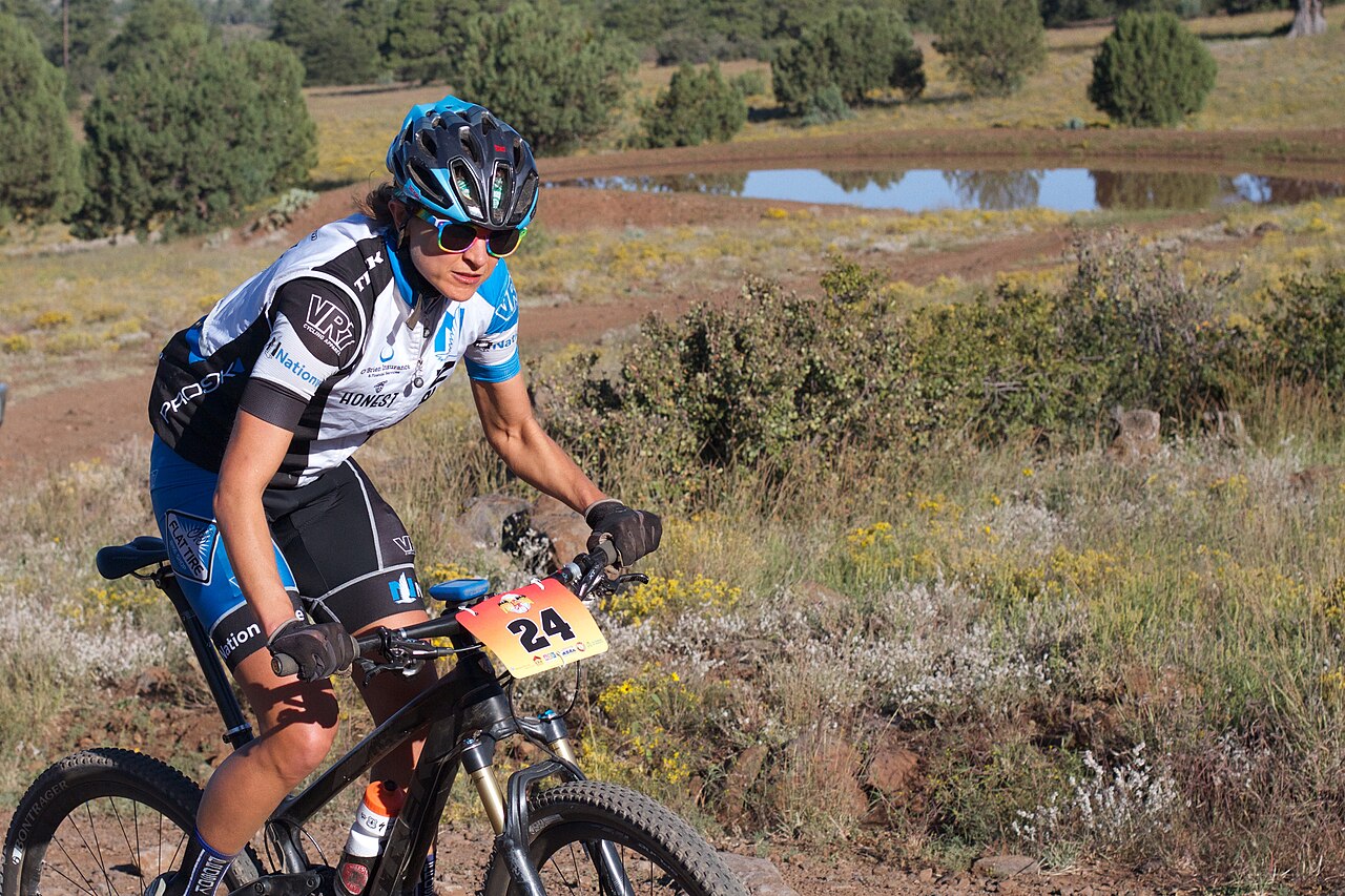
  • Mountain biker on the Fire On The Rim course in the pines near Pine and Strawberry

    Pine–Strawberry Loop

    Intermediate · 21 miles

    A loop around Pine and Strawberry on Two Ravens, the Arizona Trail, Pine Canyon, Bearfoot, and the Pine–Strawberry trail.

    About 15 miles north of Payson. Park at the Pine trailhead. Rock near the finish can mean a short hike-a-bike. The connector back to Payson is planned, not open.

    From town. North on Highway 87 about 15 miles to Pine. Park at the Pine trailhead.

    Driving directions
  • Trail through pines and canyon country under the Mogollon Rim on Barbershop Trail, east of Payson

    Highline, 260 to See Canyon

    Intermediate · 7 miles

    A day-sized piece of the rebuilt Highline, the long trail under the Mogollon Rim, with about 1,166 feet of climbing.

    The full Highline is about 63 miles, point to point. This segment starts east of town on Highway 260. Plan the return, or a shuttle, before you start.

    From town. East on Highway 260 about 25 miles to the 260 Trailhead.

    Driving directions
  • Rumsey Park

    Easy to moderate · in town

    A hill loop above the park, with switchbacks and a view back over Payson.

    Start near Taylor Pool, on the west side of the lot. Ride it clockwise.

The Visitor Center at 100 West Main Street can tell you which trailheads are open this week. Monday–Saturday, 9am–3pm. Closed Sunday. (928) 474-4515.

Open the flip book
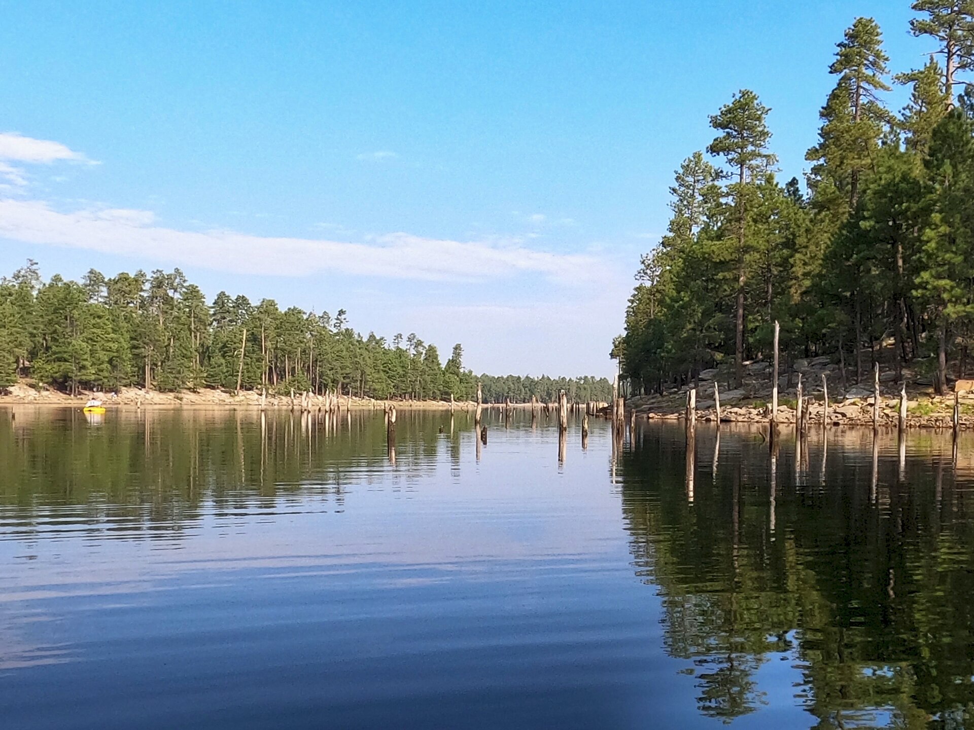
Woods Canyon Lake on the Mogollon Rim, a narrow lake ringed by pines

03 · Lakes & creeks

Lakes and creeks

Three stocked lakes sit at the end of Main Street, still and close to the parking. Higher up, Woods Canyon and the other Rim lakes are pine-ringed and cold, about an hour when the road is open.

Within about 45 miles, the fishing water is the East Verde, Horton Creek, and the Rim lakes on top of the Mogollon Rim. The town lakes are closed to swimming or wading, and an Arizona fishing license is required. The Rim lakes sit near 7,500 feet. Snow can close the roads from about December through April. Check before you drive.

  • No swimming in the town lakes
  • Arizona fishing license
  • Rim roads close for snow
Mogollon Monster™Monster watchFootprints bigger than your boot are not a trail marker. Admire them, then keep walking.The Monster
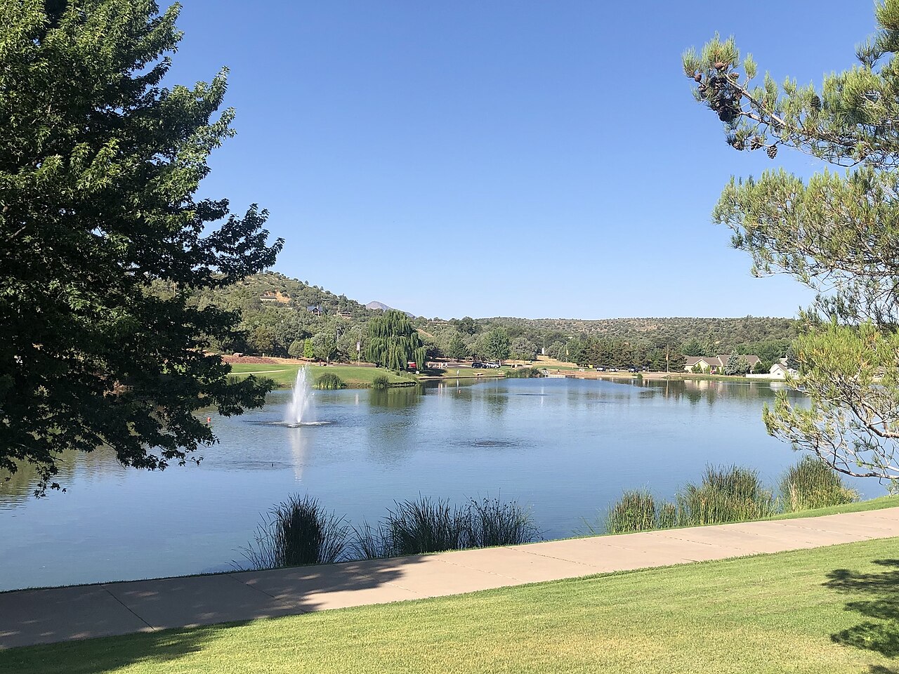
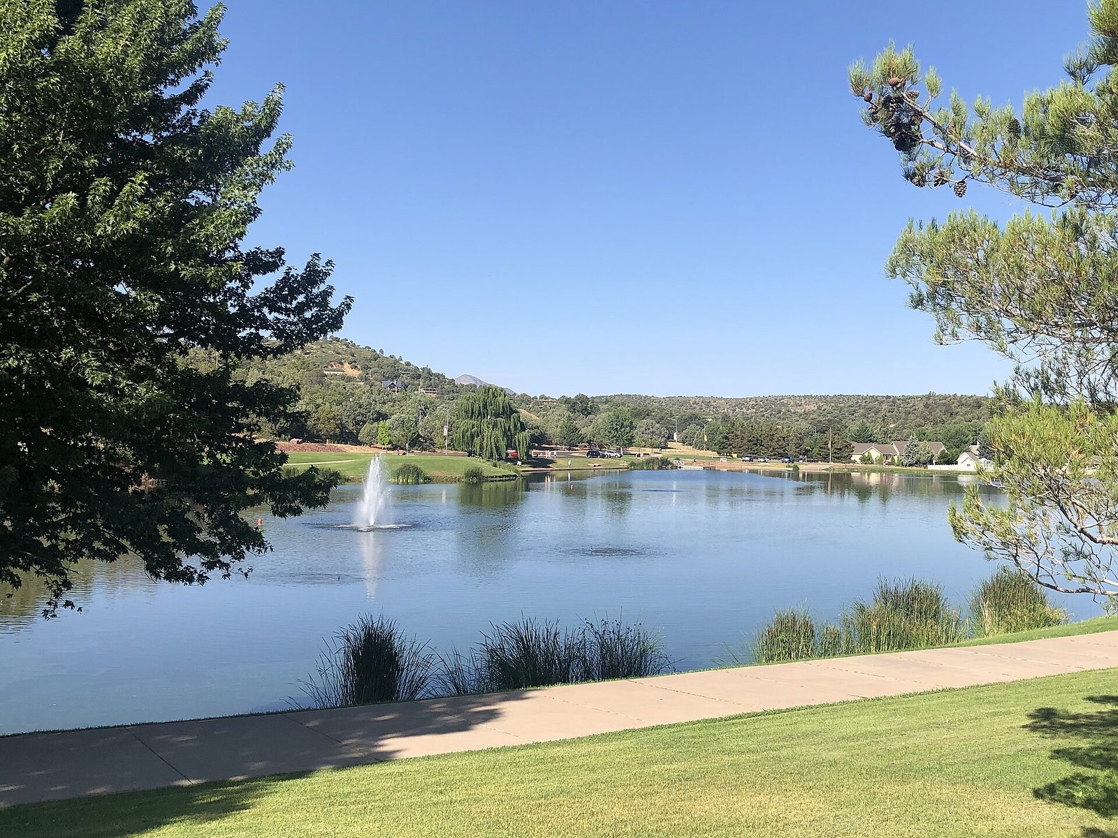
  • Green Valley Park lakes in Payson, with fountain and path

    Green Valley Lakes

    In town · 12 acres

    Three lakes at the end of Main Street: the upper is 2 acres, the middle is 1, and the main lake is 10 acres and about 21 feet deep. Rainbow trout in the cool months, then catfish, bass, and sunfish. The main lake is the one for a short paddle.

    Daily bag: 4 trout, 4 catfish, 2 bass at 13 inches or longer, and 10 sunfish. No swimming or wading. The water is treated effluent. No live baitfish. Gas motors are prohibited. Boating is sunrise to sunset. Open 6:00am to 10:30pm.

    From town. Green Valley Park, 1000 West Country Club Drive, at the west end of Main Street.

    Driving directions
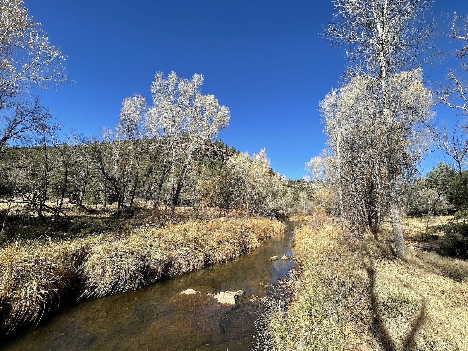
  • The East Verde River northwest of Payson

    East Verde River

    Closest river · under half an hour

    The river on the way to the Water Wheel. Clear water, small pools, and forest road crossings farther west.

    Do not enter a crossing if you cannot see the bottom, and do not enter at all if storms are upstream. Some stretches have special fishing rules.

    From town. From the Highway 87 and 260 junction, north on 87, then right on Houston Mesa Road, Forest Road 199. The Water Wheel site is about 7.5 miles up that road. About 20 minutes.

    Driving directions
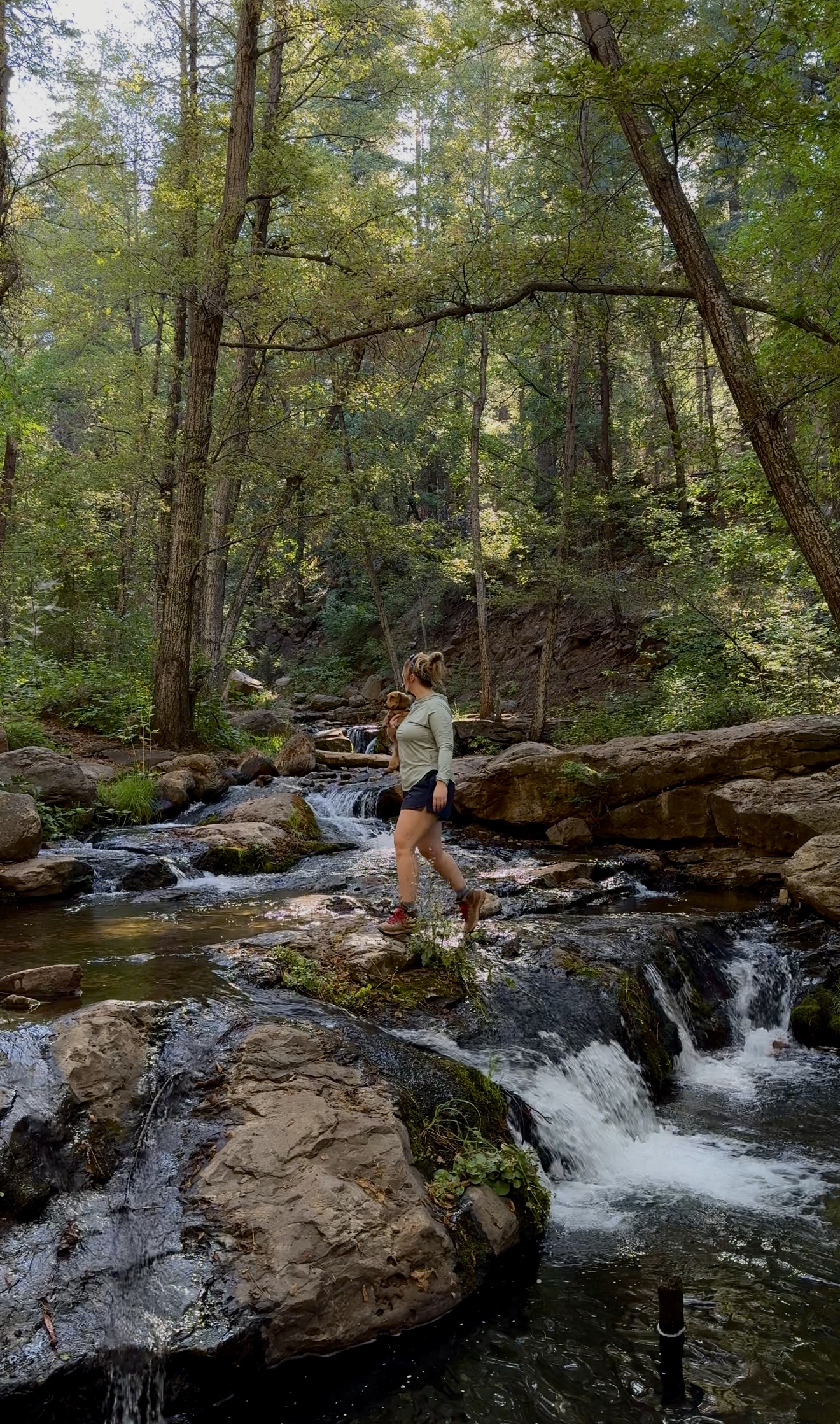
  • Crossing Horton Creek on the trail under the pines

    Horton Creek

    Creek walk · about 25 minutes

    A shaded creek that climbs to Horton Spring. The water is the trail. It is a walk, not a paddle.

    Through the end of 2026 the usual trailhead parking is closed for bridge work on Forest Road 289. Use the Derrick Trailhead as the alternate, and confirm before you leave town.

    From town. East on Highway 260 about 16 miles, just east of mile marker 268 at Kohl’s Ranch. Left on Forest Road 289, Tonto Creek Road. About 25 minutes on pavement.

    Driving directions
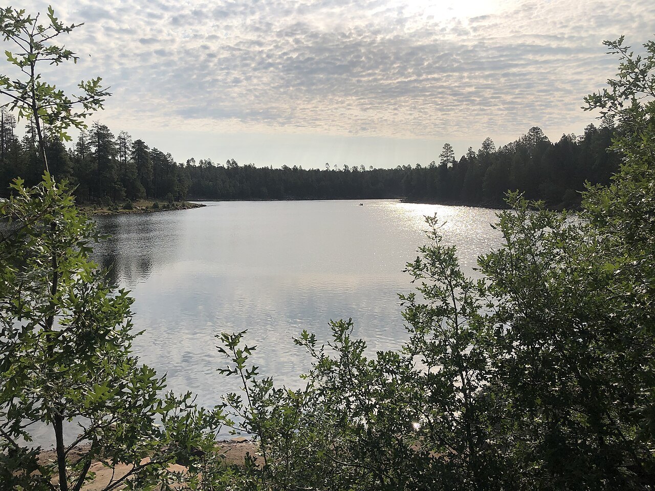
  • Woods Canyon Lake, a narrow lake ringed by pines

    Woods Canyon Lake

    About 55 acres · electric motors only

    The developed Rim lake, near 7,500 feet. Stocked with rainbow trout, and it also holds tiger trout and a few browns. There is a store, a boat ramp, and a campground.

    A single electric motor only. No gas engines. Part of the shore closes for nesting bald eagles from March 1 through August 31. The store is seasonal. Cell service is poor.

    From town. East on Highway 260 to the top of the Rim, about 30 miles. Left on Forest Road 300 for about 3 miles, then Forest Road 105 about a mile to the lake. About an hour when the road is open.

    Driving directions
  • Willow Springs Lake on the Mogollon Rim

    Willow Springs Lake

    About 150 acres · 10 horsepower

    The larger Rim lake, about 7,500 feet. Rainbow and brown trout, a paved ramp, and a campground. The spur off Highway 260 is shorter than the road to Woods Canyon.

    Gas motors are limited to 10 horsepower. Wind comes up in the afternoon. Bald eagles nest here too. Check whether the spur is open after snow.

    From town. East on Highway 260 about 23 miles, then the signed Forest Road 149 spur to the lake. About 40 minutes.

    Driving directions
  • Bear Canyon Lake seen through the pines

    Bear Canyon Lake

    60 acres · hike to the water

    Sixty acres at 7,560 feet, about 50 feet deep, in a narrow canyon. Rainbow trout are stocked about six times a year. There is no store and no boat ramp.

    Electric motors only. The parking area is about a quarter mile from the shore, so you carry the boat. Pack water. The last miles are dirt.

    From town. East on Highway 260, then Forest Road 89 about 14 miles northwest of the highway. About an hour and a quarter when the dirt is dry. Groceries are back at Forest Lakes, not at the lake.

    Driving directions
  • C.C. Cragin Reservoir, still called Blue Ridge, winding through the pines

    C.C. Cragin Reservoir

    Blue Ridge · about 6,700 feet

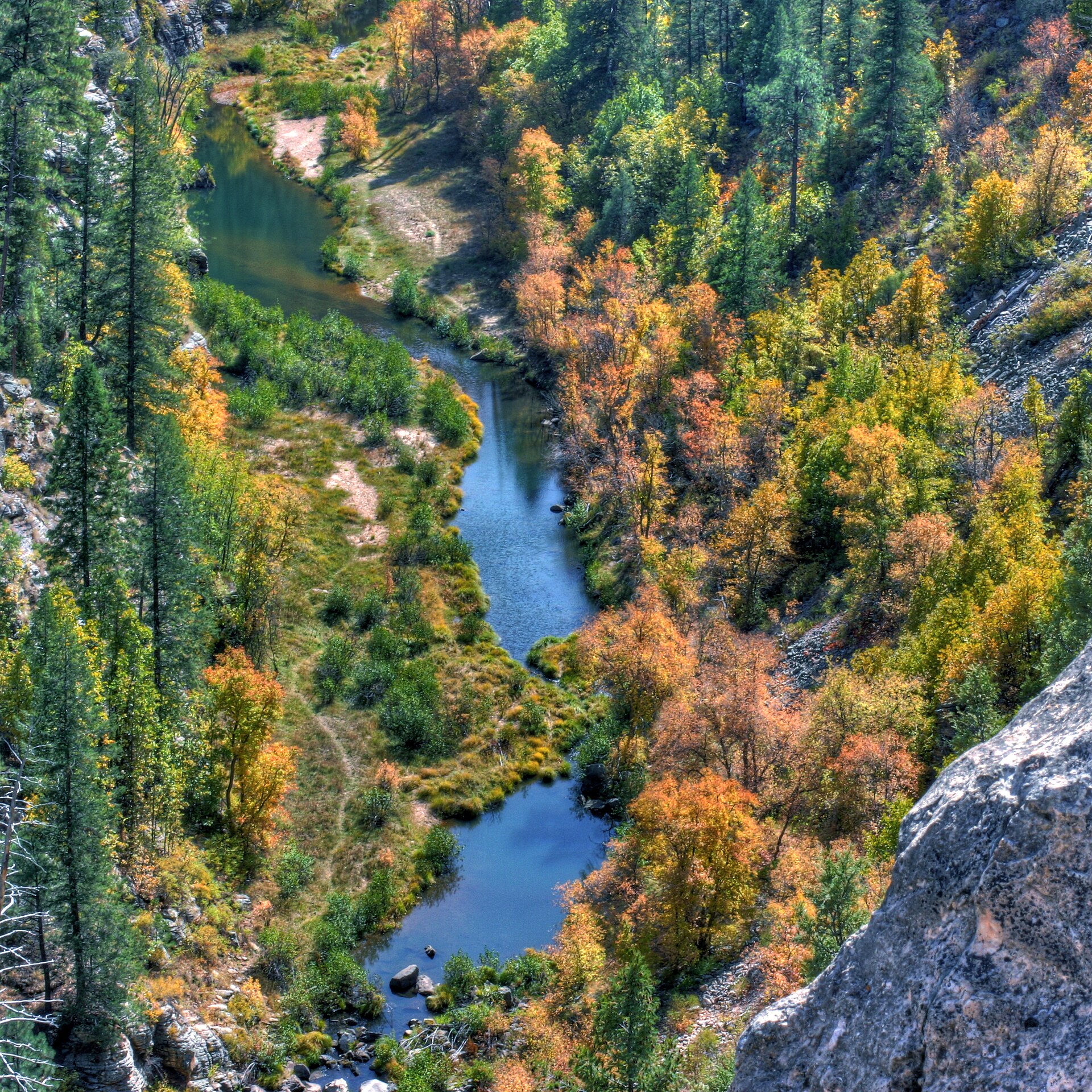
    The reservoir people still call Blue Ridge. It looks more like a canyon river than a lake, and it supplies water to Payson. Almost no beach. You fish from a boat or a kayak.

    One electric motor, or one gas engine of 10 horsepower or less. Swimming is prohibited. Forest Road 751 is gravel and closes in winter. Low water can close the ramp to trailers. A kayak can still be carried in.

    From town. North on Highway 87 through Pine and Strawberry to Clint’s Well. Continue about 4 miles to the signed Forest Road 751, then about 6 miles to the reservoir. About an hour and a half. A passenger car is usually fine when the road is dry.

    Driving directions
  • Knoll Lake

    About 75 acres · Coconino

    A 75-acre lake in the Coconino National Forest, about 50 feet deep and near 7,300 feet. Rainbow, brown, and brook trout. A campground and a ramp, open roughly mid-May to mid-September.

    The last miles are gravel. There is no store. Pack water. It sits past the 45-mile circle, so this is a long day or a night at the campground.

    From town. East on Highway 260 past Christopher Creek to Forest Road 300, then Forest Road 295E to the lake. Confirm the roads with the Mogollon Rim Ranger District before you leave town.

    Driving directions
  • Chevelon Canyon Lake

    About 200 acres · hike in

    About 200 acres in a canyon, roughly 6,400 feet, with an average depth of 35 feet and holes to about 80. Quiet fishing. Almost no facilities.

    Forest Road 169 is about 30 miles of dirt and closes in snow. The last three-quarters of a mile is closed to vehicles. You walk in, and any boat has to be carried. Motors, if you can launch at all, are 10 horsepower or less.

    From town. This is a trip toward Heber, not a loop from the stoplights. Ask the Black Mesa Ranger District whether Forest Roads 169 and 169B are open before you leave pavement.

    Driving directions

Knoll Lake and Chevelon Canyon Lake are past the 45-mile range. Ask the Payson Ranger District, (928) 474-7900, or the Black Mesa Ranger District for the Apache-Sitgreaves roads on top of the Rim. Woods Canyon Lake and Willow Springs Lake photos by Richard N. Horne, Wikimedia Commons. Bear Canyon Lake photo by davidpinter, Wikimedia Commons, CC BY 3.0. C.C. Cragin photo by Kevin Dooley, Wikimedia Commons.

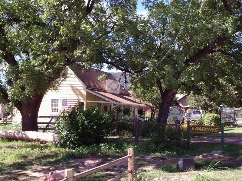
A shaded street in Pine, with a yellow house under the trees

04 · Day trip

Pine and Strawberry

Fifteen minutes farther up Highway 87, Pine has a shaded street of small shops and places to eat. Walk it, have lunch, and keep going — or turn back for the bridge on the way down.

Strawberry is a few minutes farther, and smaller. Tonto Natural Bridge State Park is just south of Pine. The bridge is the stop. The trails under it are short, and the park charges admission.

  • About 15 minutes north
  • Shops in Pine
  • State park fee at the bridge
Mogollon Monster™Monster watchHe likes dusk on the Rim. So do the elk. Only one of them is supposed to be there.The Monster
Tonto Natural Bridge
A campsite at Woods Canyon Lake Campground on the Mogollon Rim

05 · Camping

Camping close to town

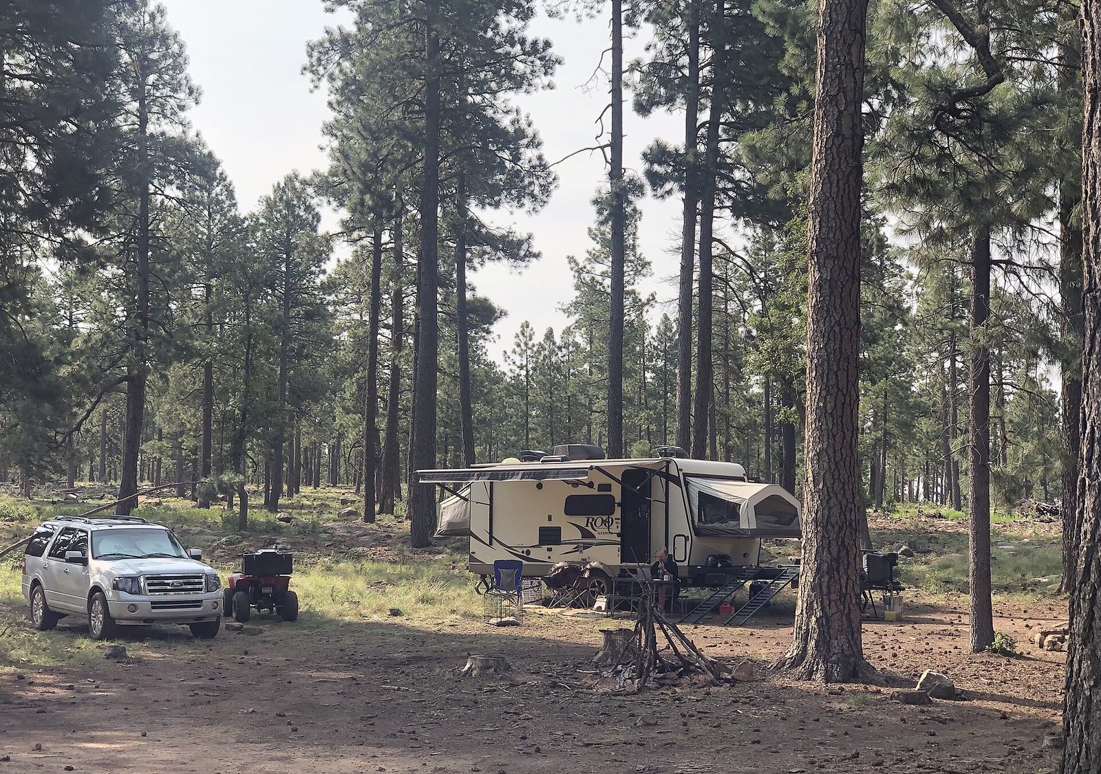
A developed campground sits just north of town, in the pines. Farther along Highway 260, forest sites sit closer to the creeks. The nights are quiet and cold.

Dispersed camping is allowed on the Tonto National Forest, following forest rules. Fire restrictions are common in summer. Check current alerts before you camp.

  • Houston Mesa Campground
  • Highway 260 creek camps
  • Seasonal fire bans
Mogollon Monster™Monster watchHe has no interest in your picnic unless you leave it. Keep the lid on.The Monster
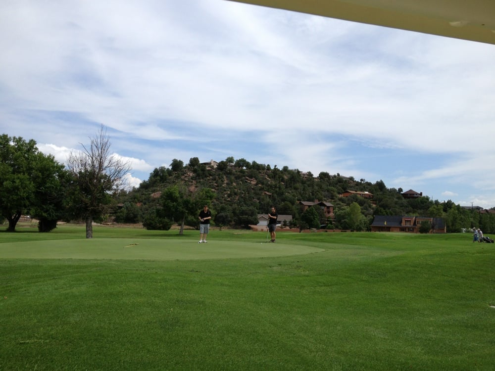
Two golfers on a green at Payson Golf Course, with the hill and houses behind the fairway

06 · Golf

Golf under the pines

Three courses sit in town. Only one is open to the public. Payson Golf Course takes a tee time. The Rim Golf Club and The Golf Club at Chaparral Pines are private. Members and their guests only.

Play the public course early. Summer afternoons often bring thunderstorms. Do not drive up to a private club expecting to be waved on.

  • Payson is public
  • The Rim is private
  • Chaparral Pines is private
Mogollon Monster™Monster watchDo not leave a sandwich on the tailgate. He reads that as an invitation.The Monster
  • A green at the public Payson Golf Course, with the hill behind the fairway

    Payson Golf Course

    Public

    The town course. A public 18 under the pines, always 15 to 20 degrees cooler than the Valley, with the hill rising behind the greens.

    Book ahead on weekends. Morning is the better round. Summer afternoons bring storms.

    From town. West on Country Club Drive, beside Green Valley Park. A few minutes from the Beeline.

    Driving directions
  • The Rim Golf Club

    Private

    A private 18 designed by Tom Weiskopf and Jay Morrish, inside a gated club. Members and their guests only.

    Private. There is no public tee sheet. Call the club if you are a member or a guest of one. 300 S. Clubhouse Road. (928) 472-1470.

    From town. South side of town, at 300 S. Clubhouse Road. The gate is for members and guests.

    Driving directions
  • Chaparral Pines

    Private

    The Golf Club at Chaparral Pines. A private 18 designed by David Graham and Gary Panks. Members and their guests only.

    Private. Do not arrive for a walk-on round. 504B N. Club Drive. (928) 472-1420.

    From town. 504B N. Club Drive, on the north side of town. Members and guests only.

    Driving directions
Mazatzal Hotel & Casino Scanacube with logo and QR code

07 · Casino

Mazatzal Hotel & Casino

Mazatzal Hotel & Casino belongs to the Tonto Apache Tribe. It sits on tribal land at the south end of Payson, on Highway 87, the Beeline, about two miles south of where Highway 87 meets Highway 260. Coming up from Phoenix, it is the first real stop after the Verde River bridge. There is no gas station between that bridge and the casino.

The hotel is all suites and open 24 hours, with an indoor pool. Cedar Ridge and The Grille serve meals. The gaming floor is 21 and over. This is not a family afternoon the way Green Valley Park is.

  • Tonto Apache Tribe
  • 21 and over on the floor
  • South end of the Beeline
Mogollon Monster™Monster watchHe has been reported in this country. He is shy, and also enormous.The Monster
Two Jeeps climbing a rock trail in the pines near Payson

08 · Off the pavement

Forest roads and rock trails

No OHV park — designated forest roads below and along the Rim. Rim Road is the scenic drive. Closer dirt is the ATV afternoon. Cross-country riding is prohibited, and roads close for snow, fire, and mud.

Rim Road and Control Road are the scenic drives most SUVs can handle when they are open. Doll Baby Ranch Road and Diamond Point are the closer ATV rides. The East Verde, Cracker Jack Mine, Pyeatt Draw, and Rocker Knocker get harder, and some of them are a poor match for a stock ATV.

  • Stay on designated roads
  • Arizona OHV decal
  • Wilderness is closed
Mogollon Monster™Monster watchHe has no interest in your picnic unless you leave it. Keep the lid on.The Monster
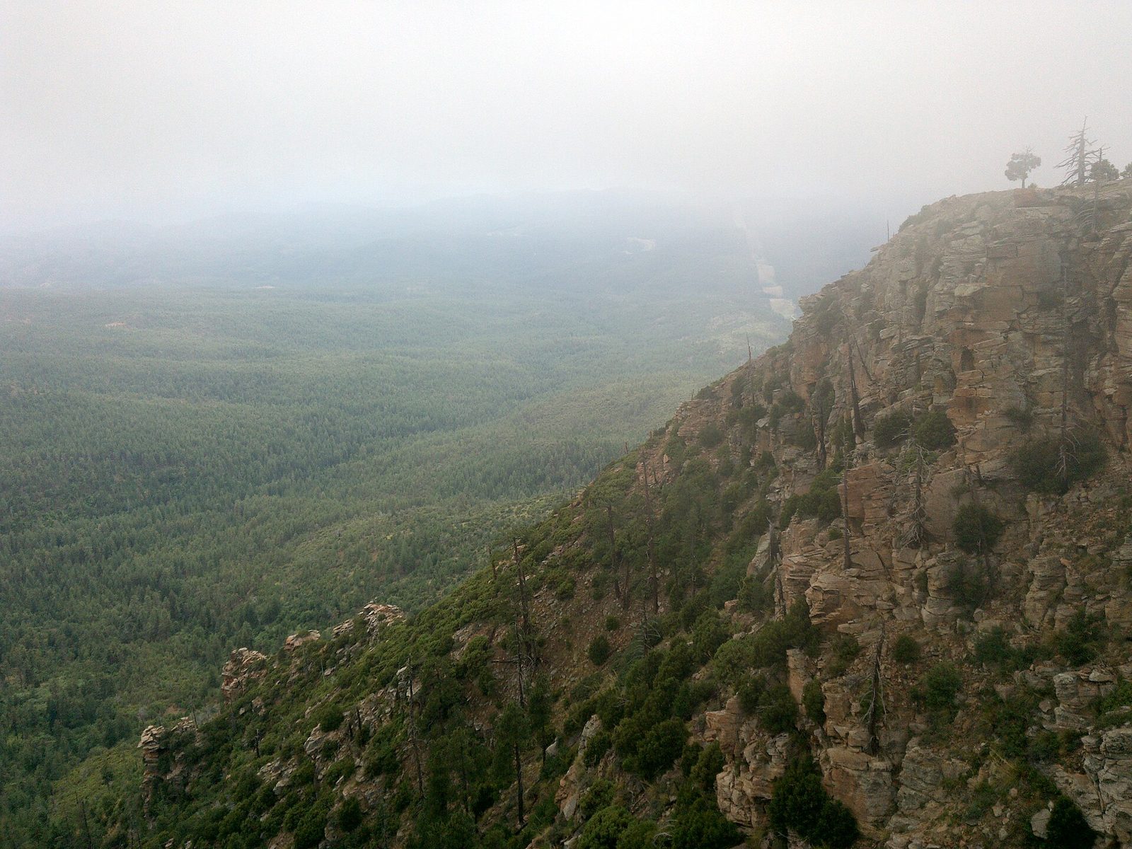
  • The Mogollon Rim above the forest along Rim Road

    Rim Road

    Easy · most SUVs and ATVs

    Forest Road 300 follows the Mogollon Rim for 40-plus miles, with overlooks and drops of about 2,000 feet.

    Caution: the edge is unguarded. Seasonal. Snow, fire, and mud close it. Confirm it is open before you drive it.

    From town. East on Highway 260 to the top of the Rim, then Forest Road 300. Allow 45 minutes to an hour.

    Driving directions
  • Control Road

    Easy · most SUVs and ATVs

    Forest Road 64 is a long graded road below the Rim, on the order of 30 miles, with places to pull off.

    Caution: the main road is the easy part. Side roads are rougher, and shallow creek crossings change after rain.

    From town. East on Highway 260 about 15 miles. Left on Fire Control Road, Forest Road 64. The graded road runs for miles below the Rim. Confirm it is open before you leave pavement.

    Driving directions
  • Doll Baby Ranch Road

    Easy to moderate · ATVs and high clearance

    About 11 miles west from Main Street and State Route 87 to the East Verde and the Doll Baby trailhead.

    Caution: do not drive it after heavy rain or if rain is forecast. The last 2 miles need high clearance. The Mazatzal Wilderness beyond the trailhead is closed to every motor vehicle.

    From town. West from Main Street and Highway 87. About 11 miles to the East Verde and the Doll Baby trailhead.

    Driving directions
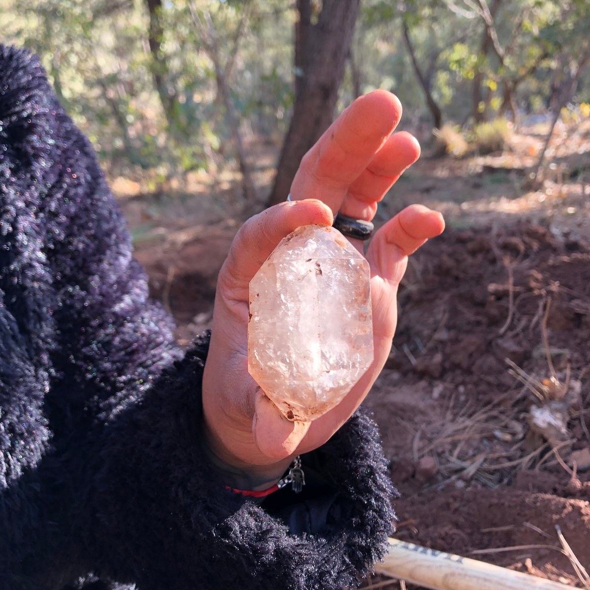
  • Clear quartz from Diamond Point

    Diamond Point

    Moderate · high clearance

    Forest roads northeast of town through the pines, used by ATVs and trucks.

    Caution: these roads turn to mud and can become impassable after rain. Call the Payson Ranger District, (928) 474-7900, before you go.

    From town. East on Highway 260 about 15 miles. Left on Fire Control Road, Forest Road 64, for about 4 to 5 miles, then Forest Road 65. High clearance is the safer choice after rain.

    Driving directions
  • The East Verde River northwest of Payson

    East Verde River

    Moderate · water crossings

    A route west of town that crosses the river more than once.

    Caution: do not enter a crossing if you cannot see the bottom, and do not enter at all if storms are upstream. Water rises fast.

    From town. West of town toward the East Verde. Confirm the current crossing route with the Payson Ranger District before you leave pavement. Do not start if storms are in the forecast.

    Driving directions
  • Cracker Jack Mine

    Moderate to hard · about 13 miles

    Between Payson and Pine. Pine forest, then high desert, with creek crossings and rocky stretches. Some hard spots have bypasses.

    Caution: confirm the current route before you leave town. A stock ATV may not fit the narrow rocky sections. Carry a spare.

    From town. North on Highway 87 toward Pine. The route leaves the highway on forest roads between Payson and Pine. Confirm the current line with the ranger district before you leave pavement.

    Driving directions
  • Pyeatt Draw

    Hard · high-clearance 4x4

    Forest Road 198 is a rocky wash of about 4.5 miles, with ledges and a limestone-step obstacle called The Filter.

    Caution: ATVs and UTVs often cannot climb The Filter. Body damage and cut sidewalls are common. Take a spare and a spotter, or stay on the forest road beside the wash.

    From town. From the Highway 87 and 260 junction: north 1.9 miles on 87, right on Houston Mesa Road for 4.9 miles, then right on Pyeatt Draw Road, Forest Road 198.

    Driving directions
  • Rocker Knocker

    Hard · experienced drivers

    A technical rock crawl toward the Mazatzal Mountains, with shelf drops and off-camber sections.

    Caution: rollover risk. This is not an ATV scenic loop. Turn around before the shelf if the vehicle is not built for it.

    From town. West of town, toward the Mazatzal Mountains. Confirm the current access with the Payson Ranger District. Turn around before the shelf if the vehicle is not built for it.

    Driving directions

Road status changes by the day. Ask the Payson Ranger District, (928) 474-7900, or the Visitor Center at 100 West Main Street. Visitor Center hours are Monday–Saturday, 9am–3pm. Closed Sunday. (928) 474-4515.

Before you go

  • An Arizona OHV decal is required on qualifying vehicles. Riders and passengers under 18 must wear a fastened DOT helmet.
  • A spark arrestor is required, and the muffler must stay at or under 96 decibels. Use headlights and taillights from half an hour after sunset until half an hour before sunrise.
  • Do not ride impaired. Stay on numbered roads. Do not cut a new line, and do not ride bike trails, including Ubuntu and Longhorn Bike Park.
  • The Mazatzal Wilderness, west of town, and Hellsgate Wilderness, east of town, are closed to all motor vehicles.
  • These roads are shared with trucks, mountain bikers, hikers, and horses. Slow down and expect a blind corner.
A hand holding a clear quartz crystal at Diamond Point, with pines and red dirt behind

09 · Rockhounding

Quartz crystals and common fossils

A forest-road morning for clear quartz, or a highway pull-off for common sea fossils in the limestone. Both are inside an hour when the roads are open. The crystals are quartz, not diamonds.

Stay inside the signed areas. At Diamond Point, surface collecting is allowed year-round. Digging there is allowed only from October 1 through February 28. On the national forest, casual collecting covers common invertebrate and plant fossils for personal use. Bones, teeth, and tracks stay in the ground.

  • Diamond Point crystals
  • Paleo Site fossils
  • Personal use only
Mogollon Monster™Monster watchIf the pines shake and there is no wind, give him the trail. He was here first.The Monster
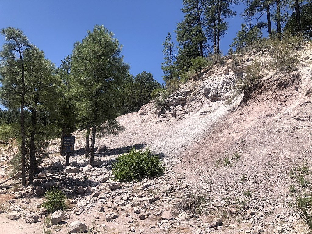
The Paleo Site east of Payson, with the fossil-bearing hillside and a sign among the pines

The Paleo Site, east on Highway 260. The hillside is the Naco Formation, and the common fossils are loose on the surface.

  • A clear quartz crystal at Diamond Point

    Diamond Point

    Quartz crystals · about 40 minutes

    A Forest Service collection site for doubly terminated quartz. Look in the limestone gravel and the dry washes inside the signed area.

    Hand tools only. Fill every hole. Stay at least 6 feet from ponderosa pine and oak. No commercial collecting. The sign at the kiosk is the rule that counts.

    From town. East on Highway 260 about 15 miles. Left on Fire Control Road, Forest Road 64, for about 4 to 5 miles, then Forest Road 65 to the signed site. High clearance is the safer choice after rain.

    Driving directions
  • The Paleo Site east of Payson, with the fossil-bearing hillside

    Paleo Site

    Common fossils · about 20 minutes

    A signed pull-off east of town. The limestone holds common marine fossils, about 300 million years old: crinoid stems, brachiopods, coral, and similar shells. Many are loose on the surface.

    Personal use only. Common invertebrate and plant fossils. No bones, teeth, or tracks. Hand tools only, and only enough to loosen a specimen. Fill any hole. Nothing collected here may be sold.

    From town. East on Highway 260 about 13 to 15 miles, just before Kohl’s Ranch. Follow the Paleo Site signs to the paved pull-off. Any car can make this stop when the highway is open.

    Driving directions

Ask the Payson Ranger District, (928) 474-7900, for the current map and whether digging is open. The Visitor Center at 100 West Main Street can point you to the same office. Monday–Saturday, 9am–3pm. Closed Sunday. (928) 474-4515.

Before you go

  • Payson diamonds are quartz, and only from the signed Diamond Point area.
  • Digging at Diamond Point is closed March 1 through September 30. Surface collecting may continue. Confirm with the Payson Ranger District before you leave town.
  • Casual fossil collecting is common invertebrate and plant fossils only, for personal use, up to a small amount. Vertebrate fossils stay where you found them.
  • Wilderness, state parks, and Fossil Creek are closed to collecting. So is private land, and so is any mining claim.
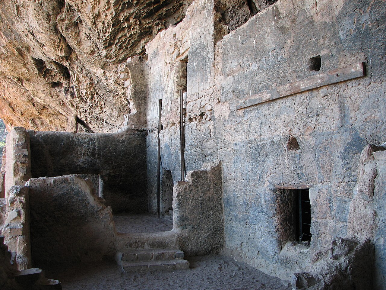
  • Do not take artifacts. Shoofly Village is an archaeological site. Leave it as you found it.
  • Cell service is poor on the forest roads. Carry water. Those roads turn to mud and can close after rain.
The walking path around a lake at Green Valley Park

10 · In town

Town parks, including three lakes

Three lakes, a walking path, and shade at the west end of Main. A good stop when the rest of the day is still ahead. Rumsey Park holds the sports fields. Deming Park and Mustang Park round out the town parks.

Town parks are open from 6:00am to 10:30pm. Ramadas can be reserved through Parks & Recreation.

  • Green Valley · Rumsey · Deming · Mustang
  • 6:00am–10:30pm
Mogollon Monster™Monster watchThe last sighting is on the radar. The next one could be yours. Be polite.The Monster
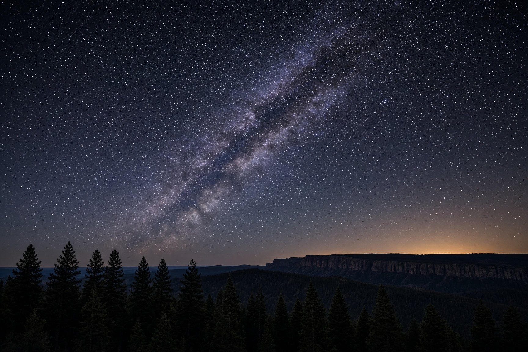
The Milky Way over a dark pine ridge

11 · After dark

Clear nights above the forest

At 5,000 feet the sky gets dark fast, with national forest on every side. A pull-off on the way toward the Rim is enough, and the air drops after sunset.

Winter nights are often the clearest. Temperatures fall quickly after sunset, so bring an extra layer.

  • Always 15 to 20 degrees cooler than Phoenix
  • Real winters, occasional snow
Mogollon Monster™Monster watchNight photos sometimes grow an extra guest at the edge of the frame.The Monster
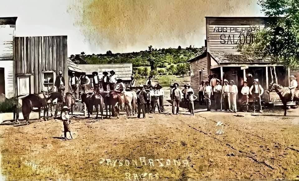
Payson, Arizona, 1888: townspeople and horses outside the Aug Pieper Saloon

12 · History

Rodeo, museum, and Rim Country history

The rodeo has run every August since 1884, the world’s oldest continuous one. The Rim Country Museum and the Zane Grey Cabin are at Green Valley Park. If the afternoon is short, this is the stop that is not a trail.

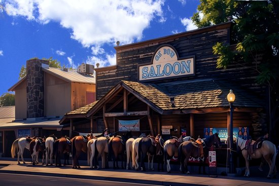
Shoofly Village, north of town, is a short interpretive walk through a prehistoric settlement. Zane Grey wrote about this country. A highway marker north of Payson commemorates the 1882 Battle of Big Dry Wash. The Ox Bow Inn & Saloon, at 607 West Main Street, opened in 1933 as the Payson Hotel and is listed on the National Register of Historic Places.

  • Rodeo since 1884
  • Rim Country Museum
  • Ox Bow Inn, 607 W. Main
Mogollon Monster™Monster watchFootprints bigger than your boot are not a trail marker. Admire them, then keep walking.The Monster
Illustration of horses tied in front of the Ox Bow Saloon

The Ox Bow Inn & Saloon, 607 West Main Street. Opened in 1933 as the Payson Hotel, and listed on the National Register of Historic Places.

Mogollon Monster™
Advertise hereRestaurants, lodging, shops, and outfittersReach travelers who stay and playMessage the page to ask about a listing