The whole site, in a book. Trails, lakes, the bridge, the Rim, the rodeo, and the monster. Each page links to its section.
Destination Payson · The guide
You are already there.
The pines start at the stoplight.
About 90 miles from Phoenix
Stop. You do not have to keep driving to Flagstaff or Sedona. Payson is already in the pines, under the Rim, and always 15 to 20 degrees cooler than the Valley.
This book is the whole guide in one turn of the page. Trails, lakes, the bridge, the roads, the rodeo, and the monster. Each page links to its section.
Come for the night. The Rim is still there in the morning, and you have not used up the day getting here.
Destination Payson is a guide to Payson, Arizona, and the country within about 45 miles. It is not the official website of the Town of Payson, and it is not affiliated with the Town.
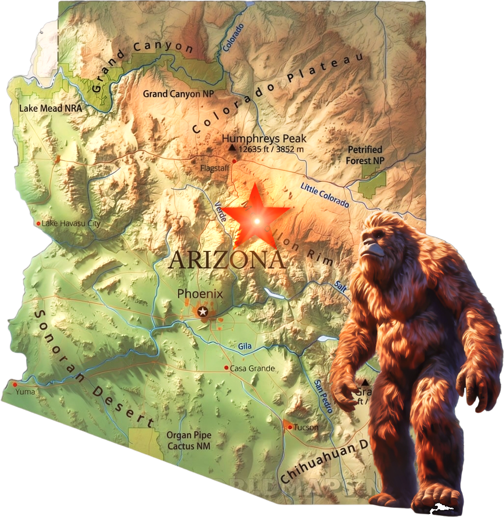
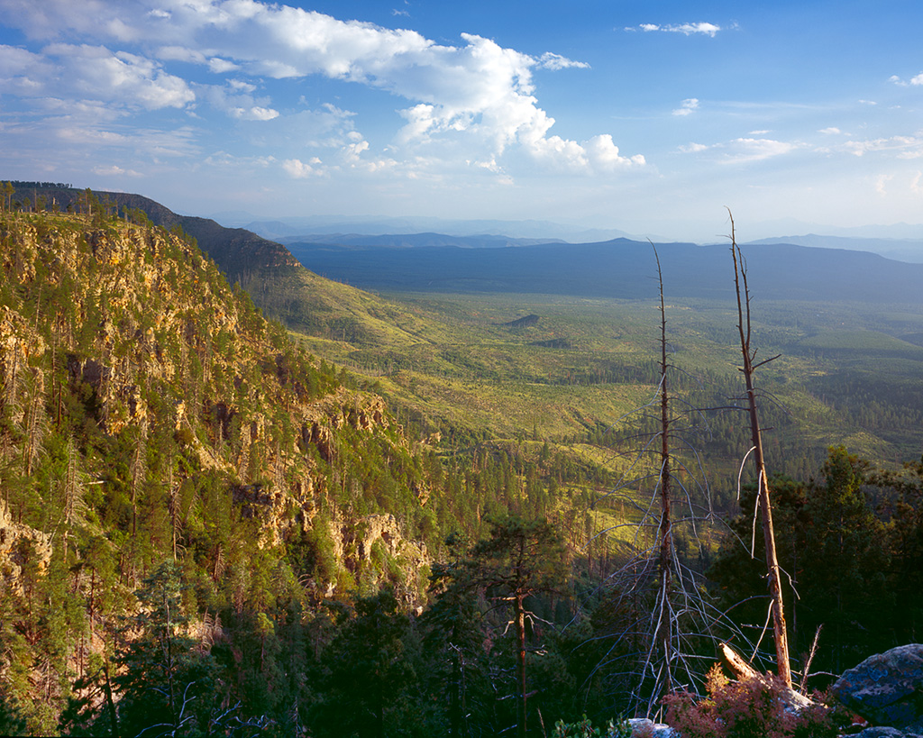
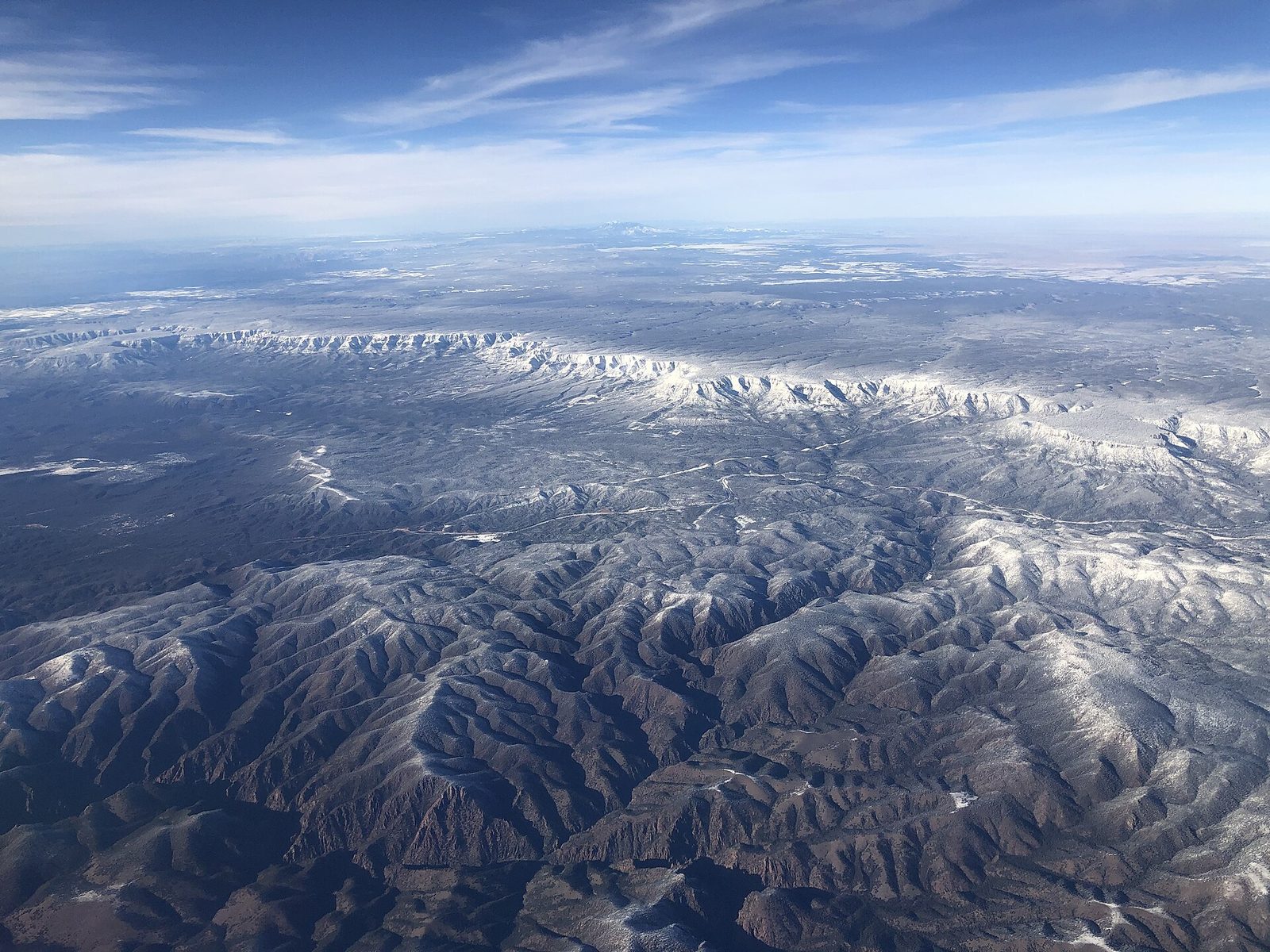
About 90 miles north of Phoenix on State Route 87, the Beeline. About 5,000 feet. The largest continuous stand of ponderosa pine in North America.
Show Low and Pinetop are another hour east. Flagstaff and Sedona are the longer famous drive. You do not have to keep going.
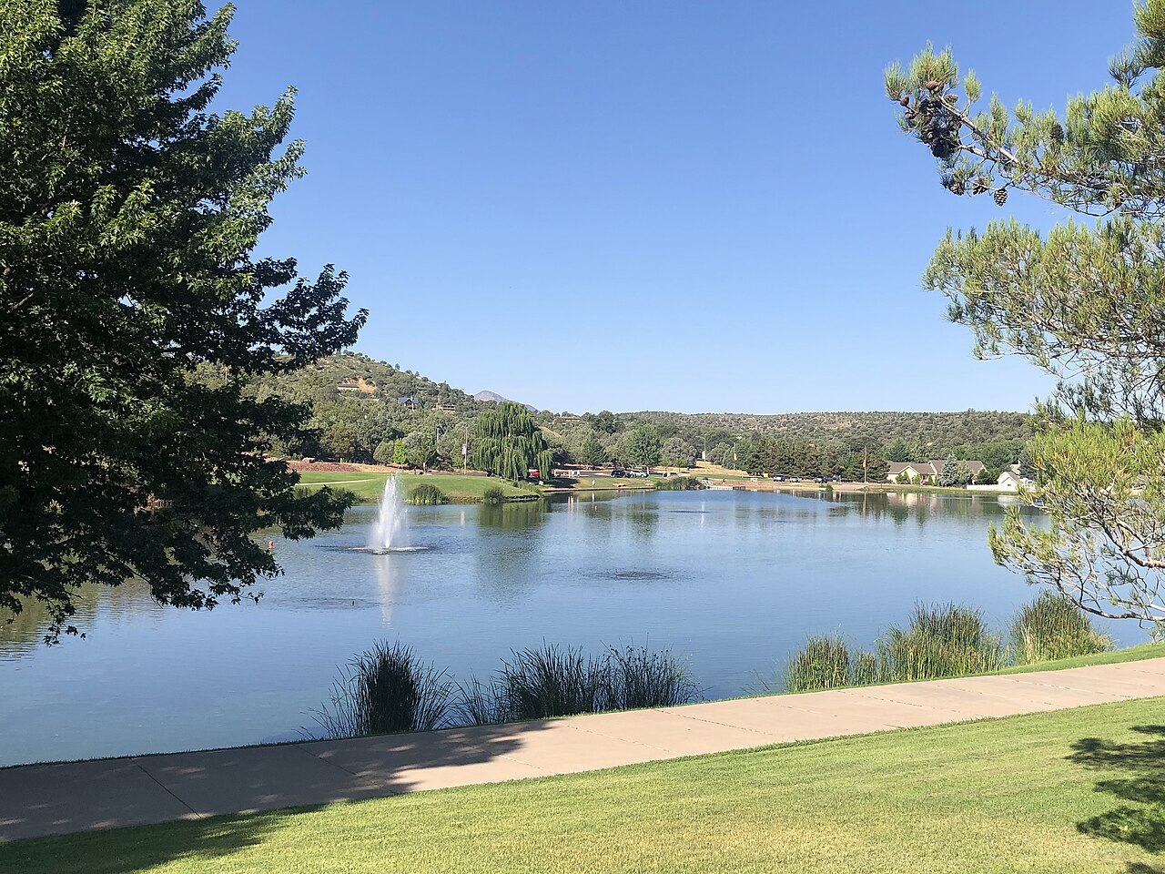
Walk the lakes at Green Valley Park in the afternoon. Climb Horton Creek toward the spring. The Rim is close enough that you do not have to make a day of the drive.
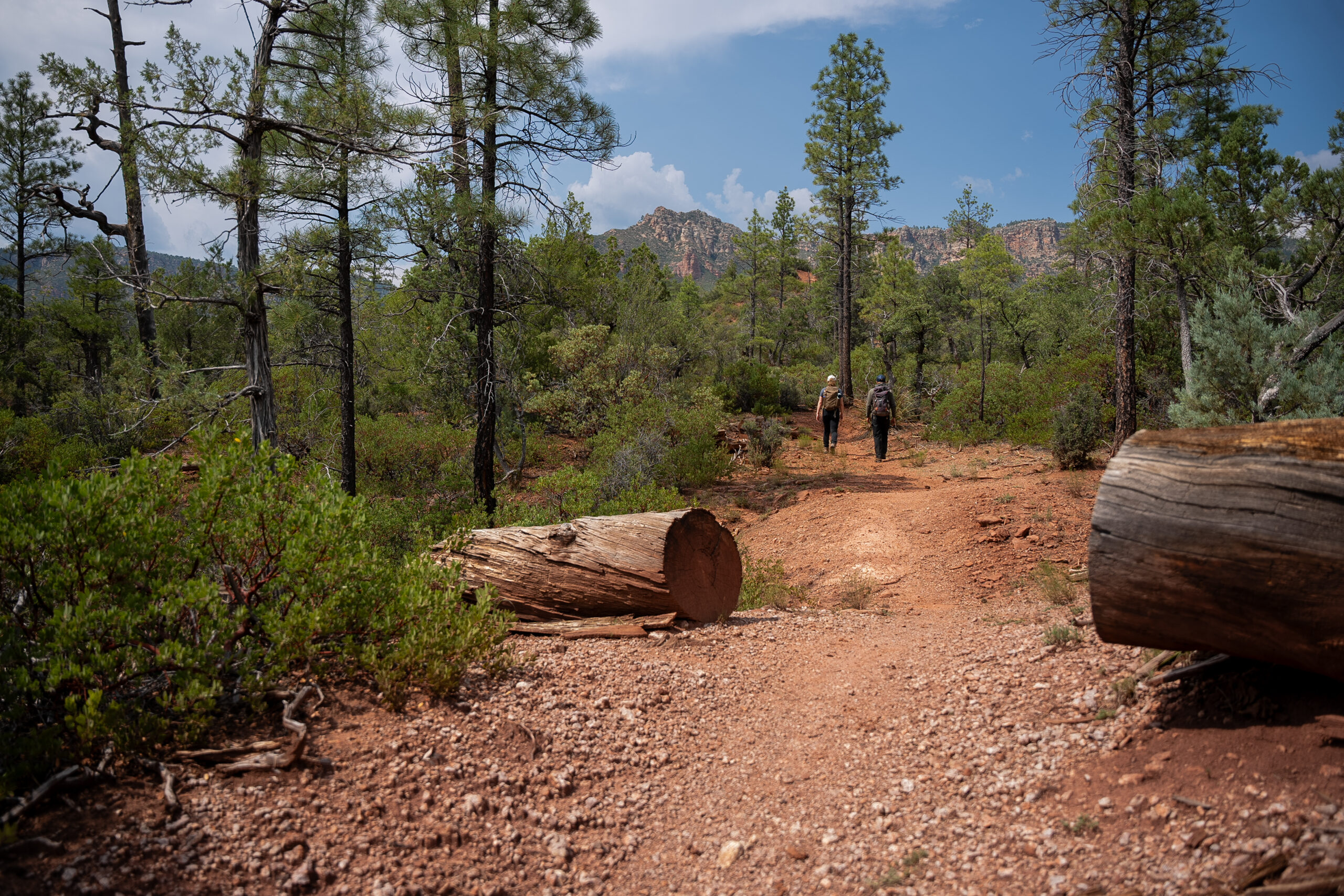
Horton Creek, Highline segments, and the Shoofly Village loop. Match the distance to the day you have, not the day you wish you had. The Payson Area Trails System map is on the trails page. Save the PDF before you leave cell service.
Carry water. Cell service drops once you leave the pavement. Tell someone which trail and when you expect to be back.
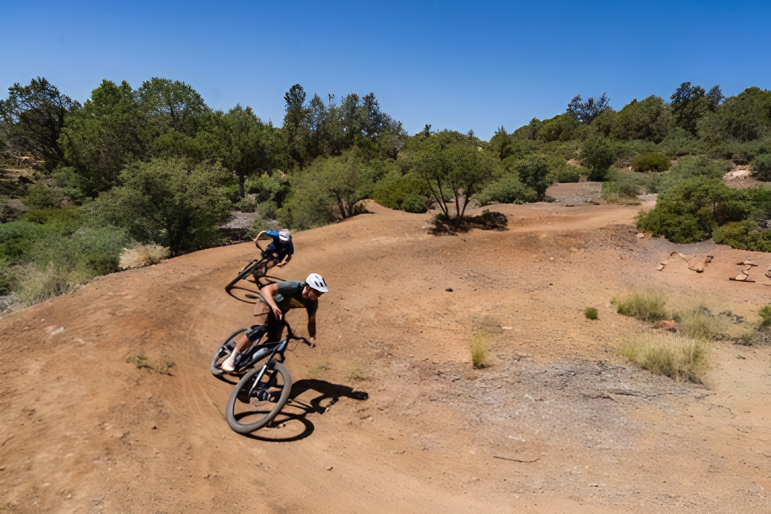
Ubuntu is off McLane Road. Intermediate, with flowy sections, rock gardens, and tight trail. Park in front of the gate and leave it clear. Ride the posted direction.
Houston Loop is an easy 3.6 from the Houston Mesa Trailhead, north of the Highway 87 and 260 junction. Use the trailhead, not the Horse Camp lot.
Longhorn Bike Park is a skills park on West Wade Lane, open during non-school hours. Pine–Strawberry is a 21-mile intermediate ride about 15 miles north. Horton Creek is a hike, not a bike ride.
Green Valley Park is fishing or a flat-water paddle. No swimming. An Arizona fishing license is required at the town lakes and the Rim lakes.
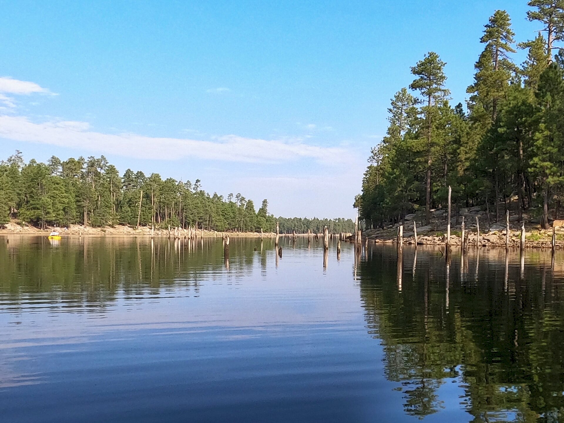
Higher up: Woods Canyon, Willow Springs, Bear Canyon, and C.C. Cragin, when the forest roads are open. A pin on a map is not a guarantee the road is open.
Confirm with the Payson Ranger District, (928) 474-7900, before you follow a pin up the Rim.
The same lakes, on a calm morning. Wear a life jacket. Anyone 12 or under must wear one while the boat is underway. Rim water is cold. A capsize is a hypothermia problem, not a swim.
Wind on Willow Springs and C.C. Cragin can pin a kayak against a cliff. The town lakes are closed to swimming, wading, and gas motors.
Tell someone which lake you are paddling and when you expect to be back. Cell service drops on the forest roads.
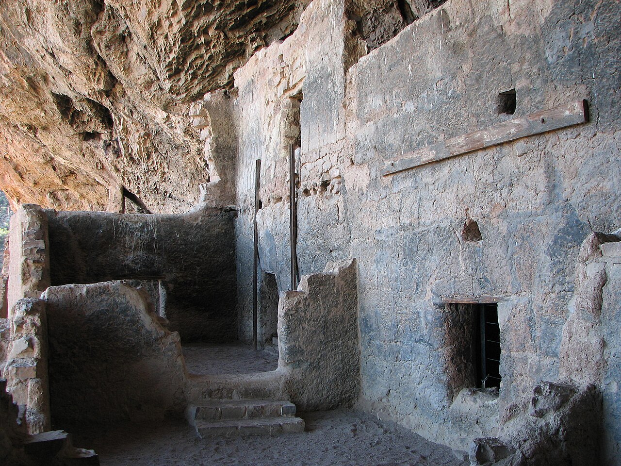
The Lower Cliff Dwelling is a steep paved half-mile, about a mile round trip. Allow an hour. Check in before you start. The trail can close for heat, lightning, bees, or flooding.
The Upper Cliff Dwelling is a guided hike only, about 3 miles round trip, and you need a reservation.
Start early if the day is already hot. From May through early October, start the lower walk before noon.
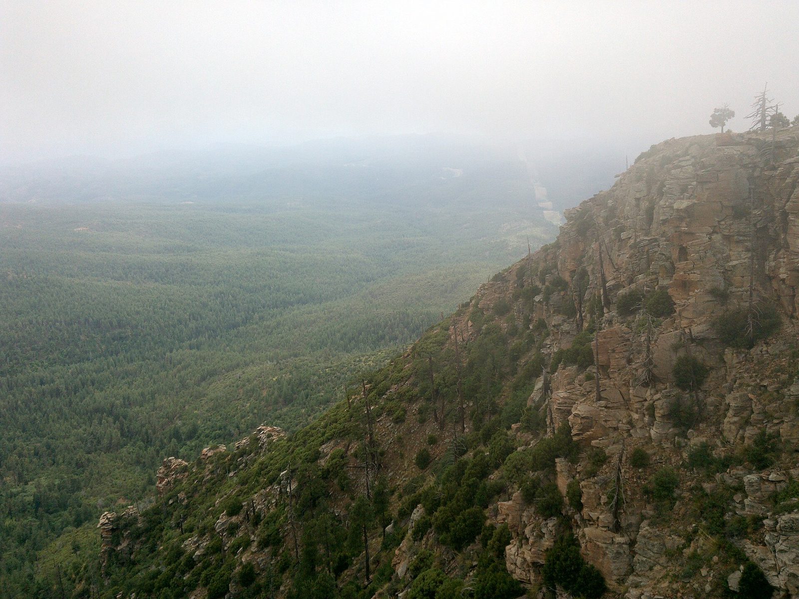
Forest Road 300, the Rim Road, follows the cliff for 40-plus miles. The edge is unguarded. Control Road is a long graded road below the Rim. The main road is the easy part. Side roads are rougher.
Doll Baby runs about 11 miles west from Main Street to the East Verde. Do not drive it after heavy rain. Diamond Point turns to mud.
Roads close for snow, fire, and mud. A pin is not a guarantee. Confirm with the Payson Ranger District before you go.
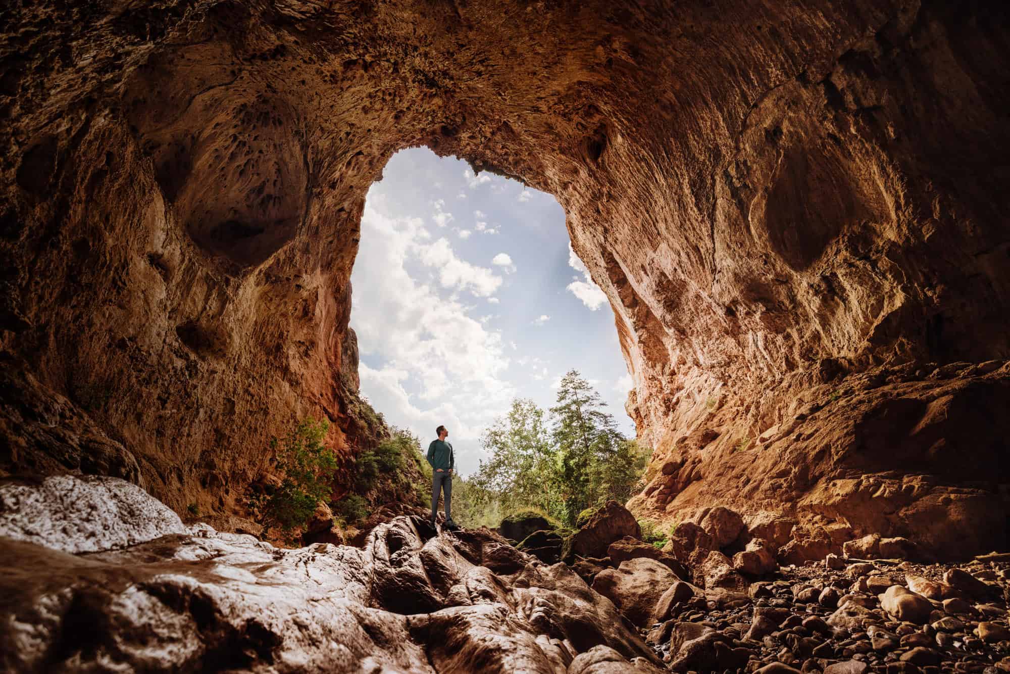
Pine and Strawberry are shops, galleries, and a lunch after Tonto Natural Bridge. The highway drops into the canyon on the way.
Houston Mesa Campground is north of town. Forest campgrounds sit along Highway 260 near water. Book the town sites. The forest ones fill on a summer weekend.
Payson Golf Course is the public course. The Rim Golf Club and Chaparral Pines are private. Members and their guests only.
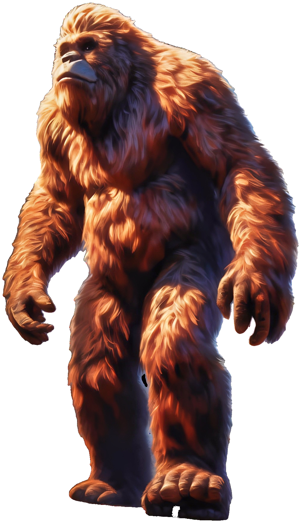
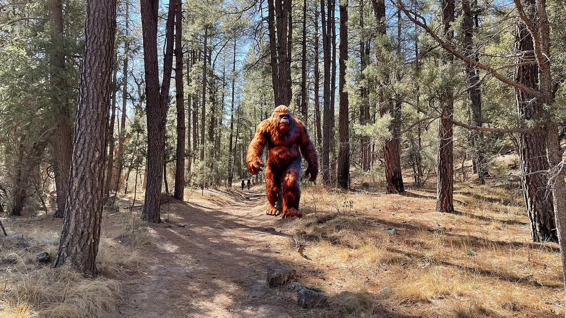
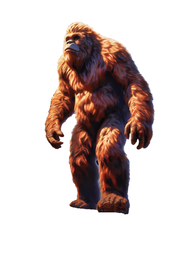
A tall figure in the pines, reported along the Rim for as long as people have walked it. The page is the lore. It is not a sighting, and it is not a promise.
The walks, the lakes, and the bridge are the reason to stop. The monster is the story.
If you want the game that goes with it, the next page is the token.
Forest roads close. An Arizona fishing license is required at the town lakes and the Rim lakes. The casino floor is 21 and over.
State Route 87 is the usual drive from Phoenix: about 90 minutes without traffic, longer on a Friday. The Beeline is the road.
Visitor Center, listed for information only: 100 West Main. Monday–Saturday, 9am–3pm. Closed Sunday. (928) 474-4515. Hours, road status, and fees change.